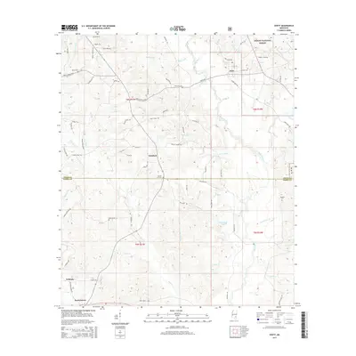
2015 Map of Ovett
USGS Topo · Published 2015About this map
Bogue Homo snakes through this landscape on the border of Jones and Perry Counties, anchoring a region of dense creek networks and timbered terrain. The settlement of Ovett serves as a primary hub in the north, while smaller communities like Whitfield, Tallahala, and Runnelstown define the local geography. The area's history is preserved in its numerous rural burial grounds, including Beech Cem, Ovett Cem, and the Woodard Cem near the eastern boundary. The presence of the Desoto National Forest highlights the managed forest character of the land, which is drained by a complex system of waterways such as Smith Mill Cr and Buck Cr. A network of winding country roads like Ovett-Moselle Rd and Whitfield Rd connects these dispersed homesteads and landmarks, providing a clear view of the rural Mississippi interior.
Find a feature on this map
80 named features on this map. Tap any name to fly to it.
Don’t see what you’re looking for? This feature index may not catch every label — zoom into the map to look around manually.
Map Details
Editions of this 2015 Ovett Map
This is the sole edition of this map. No revisions or reprints were ever made.
Other maps of this area
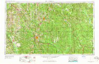
1953 · Hattiesburg
USGS Topo · 1:250,000
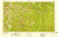
1958 · Hattiesburg
USGS Topo · 1:250,000
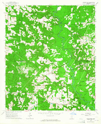
1963 · Barrontown
USGS Topo · 1:24,000
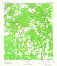
1964 · Carterville
USGS Topo · 1:24,000
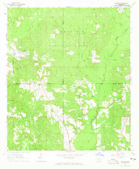
1964 · Rhodes
USGS Topo · 1:24,000
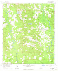
1964 · Ovett SE
USGS Topo · 1:24,000
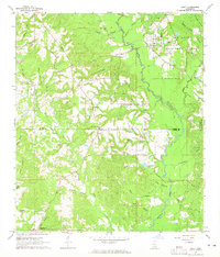
1964 · Ovett
USGS Topo · 1:24,000
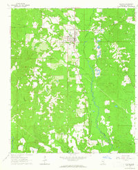
1964 · Richton
USGS Topo · 1:24,000
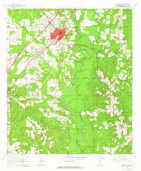
1964 · Ellisville
USGS Topo · 1:24,000
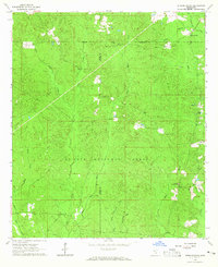
1964 · Strengthford
USGS Topo · 1:24,000