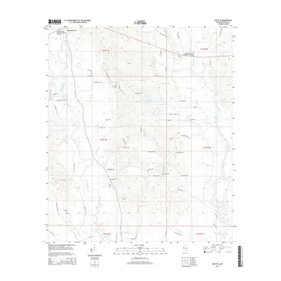
2015 Map of Ovett SE
USGS Topo · Published 2015About this map
Runnelstown and its surrounding rural landscapes in Perry County are defined by a complex network of wetlands and creek branches. This 2015 perspective highlights a region transitioning through diverse hydrology, where Tallahalla Creek and the Bogue Homo carve through the terrain. The map is a valuable resource for genealogists, as it documents several family-named burial sites including McGilvary Cem, Prospect Cem, and James Cem. Local landmarks such as Daughtry Hill and recreational points like Sportsman Lake provide geographical context for this pocket of southern Mississippi. The road network, including David Cooley Dr and Freewill Church Rd, illustrates the modern connectivity of these historically established homesteads and creek-side communities.
Find a feature on this map
93 named features on this map. Tap any name to fly to it.
Don’t see what you’re looking for? This feature index may not catch every label — zoom into the map to look around manually.
Map Details
Editions of this 2015 Ovett SE Map
This is the sole edition of this map. No revisions or reprints were ever made.
Other maps of this area
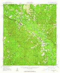
1947 · Beaumont
USGS Topo · 1:62,500
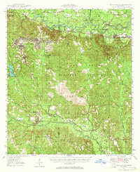
1947 · New Augusta
USGS Topo · 1:62,500
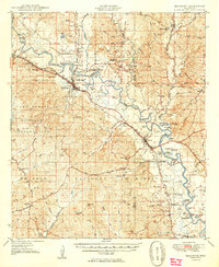
1949 · Beaumont
USGS Topo · 1:62,500
1949 · New Augusta
USGS Topo · 1:62,500
1953 · Hattiesburg
USGS Topo · 1:250,000
1958 · Hattiesburg
USGS Topo · 1:250,000
1963 · Barrontown
USGS Topo · 1:24,000
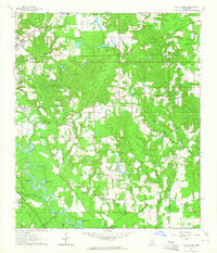
1964 · Carterville
USGS Topo · 1:24,000
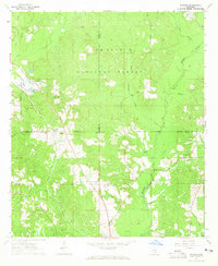
1964 · Rhodes
USGS Topo · 1:24,000
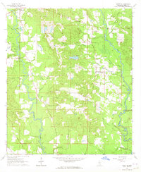
1964 · Ovett SE
USGS Topo · 1:24,000