2022 Map of Ovid
USGS Topo · Published 2022About this map
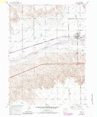
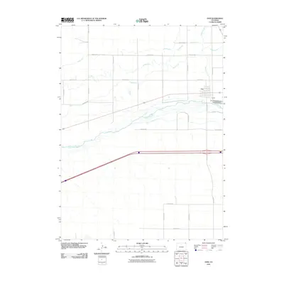
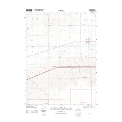
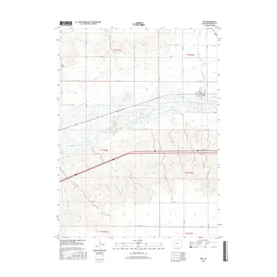
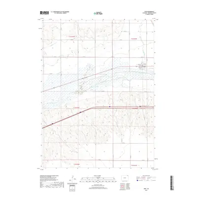
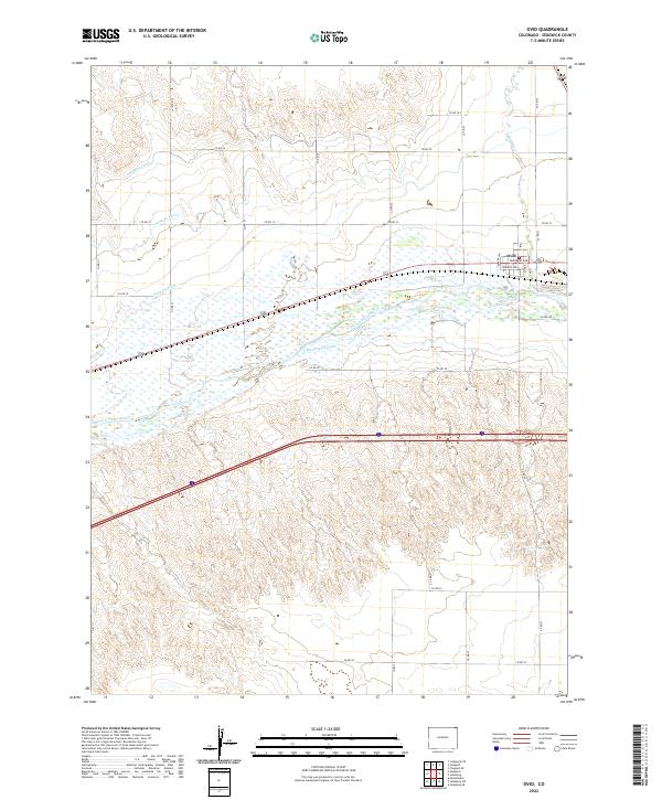
Ovid sits at the heart of an intricate water-management landscape in the northeastern corner of Colorado. The town’s grid is clearly defined by local streets including Saunders Ave and Monroe Ave, positioned just north of the meandering South Platte River. The area’s reliance on irrigation is evident through a sophisticated network of canals and waterways, such as the Highline Canal, Settlers Ditch, Peterson Ditch, and the S-Reservation Ditch. These features illustrate the transformation of the High Plains into a productive agricultural region. To the north, the terrain transitions toward Lodgepole Cr, while the river valley itself is marked by complex wetlands and drainage patterns that have historically shaped the settlement and transport corridors of Sedgwick County.
Find a feature on this map
35 named features on this map. Tap any name to fly to it.
Don’t see what you’re looking for? This feature index may not catch every label — zoom into the map to look around manually.
Map Details
Editions of this 2022 Ovid Map
This is the sole edition of this map. No revisions or reprints were ever made.
Historical Maps of Ovid Through Time
6 maps found