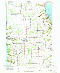
1942 Map of Ovid
USGS Topo · Published 1960About this map
The Finger Lakes region of Seneca County occupies the ridge between Seneca Lake and Cayuga Lake during the early 1940s. Centered on the town of Ovid, the landscape is defined by its strategic military and institutional footprints, most notably the United States Military Reservation Seneca Ordnance Depot occupying the northern territory and the expansive grounds of the Willard State Hospital on the western shore. The Lehigh Valley railroad cuts through the center of the county, serving a network of crossroads settlements like Hayts Corners and Tannery Corners. Numerous family and community burial sites, including Union Cem and the McNeal Cem, are interspersed among the agricultural lands and the deeply incised drainages of Sixteen Falls Creek and Simpson Creek. The topography reveals a transition from the swampy lowlands of Bilberry Swamp to the high bluffs overlooking the lakes.
Find a feature on this map
35 named features on this map. Tap any name to fly to it.
Don’t see what you’re looking for? This feature index may not catch every label — zoom into the map to look around manually.
Map Details
Editions of this 1942 Ovid Map
3 editions found
Other maps of this area

1899 · Auburn
USGS Topo · 1:62,500

1902 · Geneva
USGS Topo · 1:62,500

1902 · Genoa
USGS Topo · 1:62,500

1902 · Ovid
USGS Topo · 1:62,500

1902 · Auburn
USGS Topo · 1:62,500

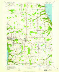
1942 · Ovid
USGS Topo · 1:31,680

1942 · Dundee
USGS Topo · 1:24,000

1942 · Lodi
USGS Topo · 1:24,000

1942 · Sheldrake
USGS Topo · 1:24,000

1942 · Trumansburg
USGS Topo · 1:24,000