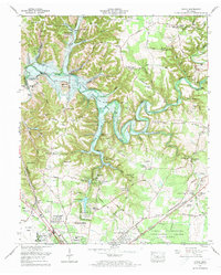
1972 Map of Ovoca
USGS Topo · Published 1973About this map
The Nashville and Chattanooga Railroad anchors the southern portion of this landscape, cutting through the northern reaches of Tullahoma as it expands into residential areas like Homeway Village and Briarwood. This 1972 survey captures a significant moment of transition for the Duck River valley with the introduction of the Normandy Dam, marking the basin of the Lake Normandy (Future) as it prepares to alter the local hydrology.
Find a feature on this map
84 named features on this map. Tap any name to fly to it.
Don’t see what you’re looking for? This feature index may not catch every label — zoom into the map to look around manually.
Map Details
Editions of this 1972 Ovoca Map
2 editions found
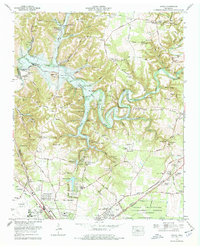
Other maps of this area

1913 · Hollow Springs
USGS Topo · 1:62,500

1936 · Ovoca
USGS Topo · 1:24,000

1936 · Fredonia
USGS Topo · 1:24,000

1936 · Manchester
USGS Topo · 1:24,000

1936 · Cumberland Springs
USGS Topo · 1:24,000

1936 · Noah
USGS Topo · 1:24,000

1936 · Wartrace
USGS Topo · 1:24,000

1936 · Camp Peay
USGS Topo · 1:24,000

1936 · Capitol Hill
USGS Topo · 1:24,000

1936 · Normandy
USGS Topo · 1:24,000