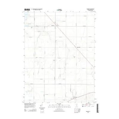
2015 Map of Owaneco
USGS Topo · Published 2015About this map
Agricultural lands in Christian County define this landscape, where the village of Owaneco sits at the intersection of a diagonal rail corridor and a rigid section-line road grid. The drainage patterns of the prairie are visible through the winding paths of Locust Cr and Cottonwood Cr, which feed into the southeast corner of Taylorville Lake. Small rural communities like Millersville and Rosamond serve as anchors for the surrounding farmsteads, connected by a network of gravel and paved routes such as N 1600 East Rd. For local historians and genealogists, the map identifies several significant burial sites, including the Donner Cem near the lakeshore and the centrally located Durbin Cem. Further south, the presence of the Potters Field Cem and Millersville Cem provides a clear record of the area's established social and community history.
Find a feature on this map
38 named features on this map. Tap any name to fly to it.
Don’t see what you’re looking for? This feature index may not catch every label — zoom into the map to look around manually.
Map Details
Editions of this 2015 Owaneco Map
This is the sole edition of this map. No revisions or reprints were ever made.
Other maps of this area

1923 · Taylorville
USGS Topo · 1:62,500

1925 · Taylorville
USGS Topo · 1:62,500

1946 · Nokomis
USGS Topo · 1:62,500

1947 · Pana
USGS Topo · 1:62,500

1949 · Nokomis
USGS Topo · 1:62,500

1949 · Pana
USGS Topo · 1:62,500

1952 · Assumption
USGS Topo · 1:62,500

1958 · Decatur
USGS Topo · 1:250,000

1961 · Decatur
USGS Topo · 1:250,000

1974 · Willeys
USGS Topo · 1:24,000