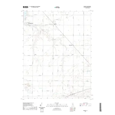
2021 Map of Owaneco
USGS Topo · Published 2021About this map
Owaneco and the small agricultural hubs of Millersville and Rosamond anchor this portion of Christian County, illustrating the enduring grid-based layout of the Illinois prairie. The terrain is defined by the winding paths of Locust Cr and Cottonwood Cr, which break the geometric precision of the township and range system. Near the edge of Taylorville, Taylorville Lake stands as a significant hydrological feature in an otherwise strictly cultivated landscape.
Find a feature on this map
48 named features on this map. Tap any name to fly to it.
Don’t see what you’re looking for? This feature index may not catch every label — zoom into the map to look around manually.
Map Details
Editions of this 2021 Owaneco Map
This is the sole edition of this map. No revisions or reprints were ever made.
Other maps of this area

1923 · Taylorville
USGS Topo · 1:62,500

1925 · Taylorville
USGS Topo · 1:62,500

1946 · Nokomis
USGS Topo · 1:62,500

1947 · Pana
USGS Topo · 1:62,500

1949 · Nokomis
USGS Topo · 1:62,500

1949 · Pana
USGS Topo · 1:62,500

1952 · Assumption
USGS Topo · 1:62,500

1958 · Decatur
USGS Topo · 1:250,000

1961 · Decatur
USGS Topo · 1:250,000

1974 · Willeys
USGS Topo · 1:24,000