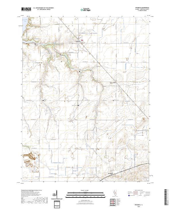
2024 Map of Owaneco
USGS Topo · Published 2024About this map
Owaneco serves as a primary hub for this central Illinois landscape, where the grid of rural roads meets the diagonal path of the railway. The settlement pattern is defined by agricultural continuity, punctuated by numerous small burial grounds that suggest generations of local family history. From Donner Cem in the northwest to the Millersville Cem near the village of Millersville, these sites offer a direct link to the area's early residents. The terrain is shaped by the drainage systems of Locust Creek and Cottonwood Creek, which meander through the prairie toward the shores of Taylorville Lake. Further south, the town of Rosamond sits near the Christian County line, marking another node in the regional transport network. The presence of the Main Drainage Ditch in the east highlights the long-standing engineering efforts required to manage the fertile but low-lying farmlands of the region.
Find a feature on this map
49 named features on this map. Tap any name to fly to it.
Don’t see what you’re looking for? This feature index may not catch every label — zoom into the map to look around manually.
Map Details
Editions of this 2024 Owaneco Map
This is the sole edition of this map. No revisions or reprints were ever made.
Other maps of this area

1923 · Taylorville
USGS Topo · 1:62,500

1925 · Taylorville
USGS Topo · 1:62,500

1946 · Nokomis
USGS Topo · 1:62,500

1947 · Pana
USGS Topo · 1:62,500

1949 · Nokomis
USGS Topo · 1:62,500

1949 · Pana
USGS Topo · 1:62,500

1952 · Assumption
USGS Topo · 1:62,500

1958 · Decatur
USGS Topo · 1:250,000

1961 · Decatur
USGS Topo · 1:250,000

1974 · Willeys
USGS Topo · 1:24,000