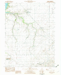
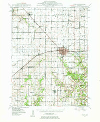
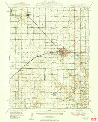
1982 Map of Owaneco
USGS Topo · Published 1982About this map
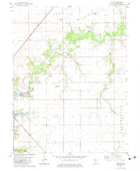
Owaneco and the surrounding Christian County prairie appear here in the early 1980s, defined by a landscape of productive agriculture and dispersed rural settlements. The drainage patterns of Locust Creek and Cottonwood Creek cut through the grid-patterned fields, which are dotted with important genealogical sites like Durbin Cem, Buckeye Cem, and Potters Field Cem. A segment of Lake Taylorville reaches into the northwest corner, marking the edge of the regional hub.
Find a feature on this map
19 named features on this map. Tap any name to fly to it.
Don’t see what you’re looking for? This feature index may not catch every label — zoom into the map to look around manually.
Map Details
Editions of this 1982 Owaneco Map
This is the sole edition of this map. No revisions or reprints were ever made.
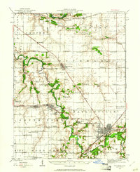
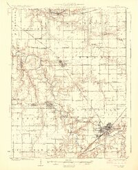
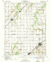
Other maps of this area
1923 · Taylorville
USGS Topo · 1:62,500
1925 · Taylorville
USGS Topo · 1:62,500
1946 · Nokomis
USGS Topo · 1:62,500
1947 · Pana
USGS Topo · 1:62,500
1949 · Nokomis
USGS Topo · 1:62,500
1949 · Pana
USGS Topo · 1:62,500
1952 · Assumption
USGS Topo · 1:62,500

1958 · Decatur
USGS Topo · 1:250,000

1961 · Decatur
USGS Topo · 1:250,000
1974 · Willeys
USGS Topo · 1:24,000