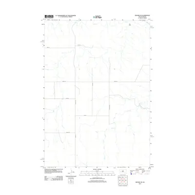
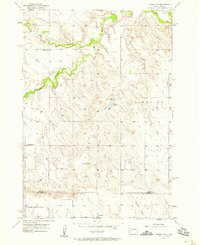
2012 Map of Owanka NE
USGS Topo · Published 2012About this map
Elk Cr and Alkali Cr define the drainage of this western South Dakota landscape, where the natural watercourses carve through the high plains of Pennington County. The terrain is characterized by broad valleys and occasional depressions like Hay Draw, which provide essential relief to the open prairie. By the early 21st century, the area maintained a strictly rural character, organized by a rectangular grid of section-line roads and regional connectors like Co Hwy Mc-29. Transportation through this expansive territory relies on a network of long-distance thoroughfares such as Lakeside Rd and Angell Rd, which facilitate movement between isolated ranching properties. This USGS survey captures the intersection of natural hydrology and man-made infrastructure, showing how local names like Little Alkali Rd reflect the specific geographical features that have long dictated the placement of travel routes in the region.
Find a feature on this map
13 named features on this map. Tap any name to fly to it.
Don’t see what you’re looking for? This feature index may not catch every label — zoom into the map to look around manually.
Map Details
Editions of this 2012 Owanka NE Map
This is the sole edition of this map. No revisions or reprints were ever made.
Other maps of this area

1953 · Rapid City
USGS Topo · 1:250,000
1954 · Elm Springs SW
USGS Topo · 1:24,000
1954 · Dalzell
USGS Topo · 1:24,000
1954 · Wasta
USGS Topo · 1:24,000
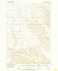
1954 · Owanka
USGS Topo · 1:24,000
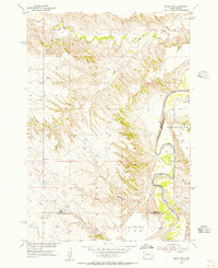
1954 · Wasta NW
USGS Topo · 1:24,000
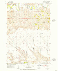
1954 · Elm Springs
USGS Topo · 1:24,000

1957 · Rapid City
USGS Topo · 1:250,000
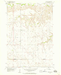
1957 · Owanka NE
USGS Topo · 1:24,000
1957 · Owanka NW
USGS Topo · 1:24,000