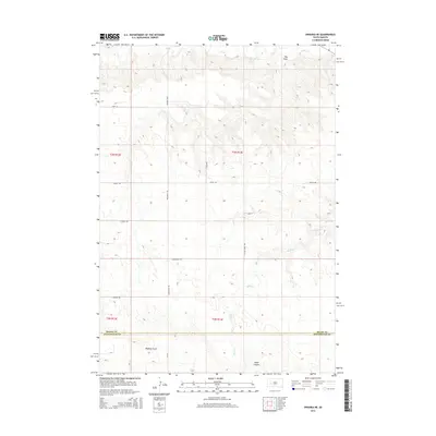
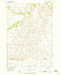
2015 Map of Owanka NE
USGS Topo · Published 2015About this map
Elk Cr and Alkali Cr define the drainage of this section of the Great Plains, where the terrain is marked by deep topographic depressions like Hay Draw and Madison Draw. The map documents the boundary between Meade County and Pennington County, showing a highly structured grid of section lines and rural corridors including Wicksville Rd and Tisdale Rd. The landscape's character is shaped by these seasonal waterways and canyons, such as Hawk Canyon, which break up the high plateau. This 2015 survey illustrates a sparsely populated region where the infrastructure is primarily focused on access to ranching lands via routes like Angell Rd and Lakeside Rd.
Find a feature on this map
19 named features on this map. Tap any name to fly to it.
Don’t see what you’re looking for? This feature index may not catch every label — zoom into the map to look around manually.
Map Details
Editions of this 2015 Owanka NE Map
This is the sole edition of this map. No revisions or reprints were ever made.
Other maps of this area

1953 · Rapid City
USGS Topo · 1:250,000
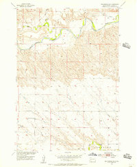
1954 · Elm Springs SW
USGS Topo · 1:24,000
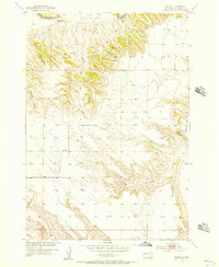
1954 · Dalzell
USGS Topo · 1:24,000
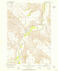
1954 · Wasta
USGS Topo · 1:24,000
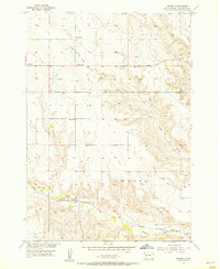
1954 · Owanka
USGS Topo · 1:24,000
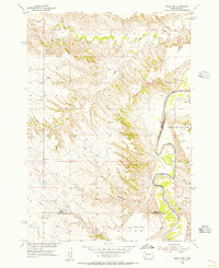
1954 · Wasta NW
USGS Topo · 1:24,000
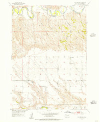
1954 · Elm Springs
USGS Topo · 1:24,000

1957 · Rapid City
USGS Topo · 1:250,000
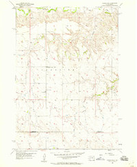
1957 · Owanka NE
USGS Topo · 1:24,000
1957 · Owanka NW
USGS Topo · 1:24,000