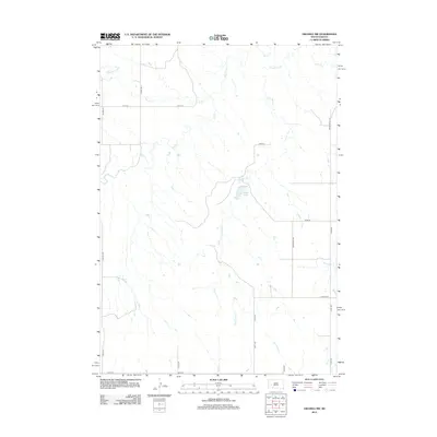
2012 Map of Owanka NW
USGS Topo · Published 2012About this map
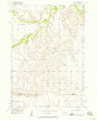
Elk Cr and Lone Tree Cr carve paths through this section of Pennington County, defining a landscape of intermittent drainage and rural corridors. Near the center of the sheet, the waters of Tisdale Lake sit just east of where several creek branches converge. The map reflects a structured grid of rural infrastructure, including Co Hwy Mc-4 and various family-named or descriptive routes like Simonville Rd and Rocky Knoll RD. The settlement pattern is sparse, with the terrain primarily organized around these watercourses and a network of section-line roads such as Red Top Rd and Niagara Pl, illustrating the agricultural and ranching layout of South Dakota's western plains during the early 21st century.
Find a feature on this map
22 named features on this map. Tap any name to fly to it.
Don’t see what you’re looking for? This feature index may not catch every label — zoom into the map to look around manually.
Map Details
Editions of this 2012 Owanka NW Map
This is the sole edition of this map. No revisions or reprints were ever made.
Other maps of this area
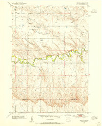
1953 · Viewfield
USGS Topo · 1:24,000
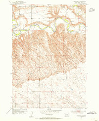
1953 · Hereford SE
USGS Topo · 1:24,000
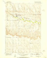
1953 · New Underwood
USGS Topo · 1:24,000

1953 · Rapid City
USGS Topo · 1:250,000
1954 · Elm Springs SW
USGS Topo · 1:24,000
1954 · Owanka
USGS Topo · 1:24,000
1954 · Elm Springs
USGS Topo · 1:24,000

1957 · Rapid City
USGS Topo · 1:250,000
1957 · Owanka NE
USGS Topo · 1:24,000
1957 · Owanka NW
USGS Topo · 1:24,000