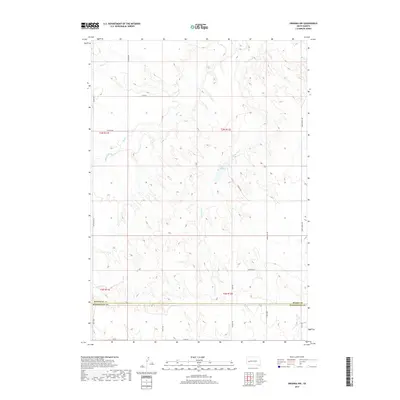
2017 Map of Owanka NW
USGS Topo · Published 2017About this map
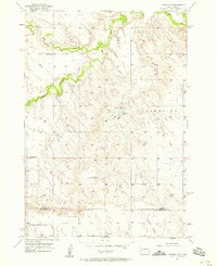
Meade Co and Pennington Co meet along a straight surveyor’s boundary line in this South Dakota ranching landscape. The terrain is defined by the drainages of Elk Creek and Lone Tree Cr, which carve through the high plains. A localized water feature, Tisdale Lake, sits nestled among the hills, while intermittent watercourses like Dry Cr and Patterson Cr underscore the semi-arid character of the region. The map reveals a systematic grid of section lines and gravel roads, including Tisdale Rd and Simonville Rd, which provide access across the sparse terrain. This 2017 study illustrates the enduring rural structure of the area, where large tracts of land are primarily organized by township and range boundaries such as t3n r12e and t2n r11e, reflecting the long-term patterns of Western land division.
Find a feature on this map
26 named features on this map. Tap any name to fly to it.
Don’t see what you’re looking for? This feature index may not catch every label — zoom into the map to look around manually.
Map Details
Editions of this 2017 Owanka NW Map
This is the sole edition of this map. No revisions or reprints were ever made.
Other maps of this area
1953 · Viewfield
USGS Topo · 1:24,000
1953 · Hereford SE
USGS Topo · 1:24,000
1953 · New Underwood
USGS Topo · 1:24,000

1953 · Rapid City
USGS Topo · 1:250,000
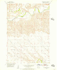
1954 · Elm Springs SW
USGS Topo · 1:24,000
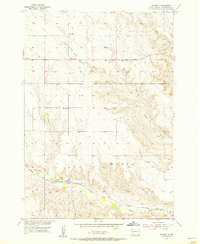
1954 · Owanka
USGS Topo · 1:24,000
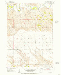
1954 · Elm Springs
USGS Topo · 1:24,000

1957 · Rapid City
USGS Topo · 1:250,000
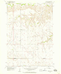
1957 · Owanka NE
USGS Topo · 1:24,000
1957 · Owanka NW
USGS Topo · 1:24,000