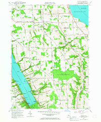
1955 Map of Owasco
USGS Topo · Published 1967About this map
Skaneateles Lake and Owasco Lake define the eastern and western margins of this mid-century Finger Lakes landscape. The high ground between the basins is characterized by a network of rural crossroads and family-named landmarks, reflecting a settled agricultural economy. Small hamlets like Owasco and Niles serve as anchors for the surrounding farmsteads, while the rugged shoreline of Owasco Lake is dotted with specific points such as Adams Pt, Seward Pt, and Willow Pt.
Find a feature on this map
74 named features on this map. Tap any name to fly to it.
Don’t see what you’re looking for? This feature index may not catch every label — zoom into the map to look around manually.
Map Details
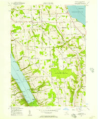
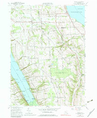
Editions of this 1955 Owasco Map
3 editions found
Other maps of this area

1898 · Moravia
USGS Topo · 1:62,500

1899 · Auburn
USGS Topo · 1:62,500

1899 · Skaneateles
USGS Topo · 1:62,500

1902 · Skaneateles
USGS Topo · 1:62,500

1902 · Moravia
USGS Topo · 1:62,500

1902 · Genoa
USGS Topo · 1:62,500

1902 · Auburn
USGS Topo · 1:62,500

1942 · Genoa
USGS Topo · 1:24,000

1943 · Moravia
USGS Topo · 1:31,680
1943 · Genoa
USGS Topo · 1:31,680