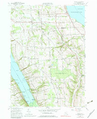
1955 Map of Owasco
USGS Topo · Published 1979About this map
Skaneateles Lake and Owasco Lake define the western and eastern boundaries of this mid-century Finger Lakes landscape. The high, undulating divide between these deep glacial basins is a patchwork of small agricultural settlements and rural infrastructure. The hamlet of Niles sits central to a network of winding roads like Old Salt Road and Whiskey Lane, reflecting the early transportation history of the region.
Find a feature on this map
84 named features on this map. Tap any name to fly to it.
Don’t see what you’re looking for? This feature index may not catch every label — zoom into the map to look around manually.
Map Details
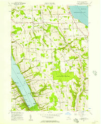
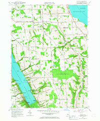
Editions of this 1955 Owasco Map
3 editions found
Other maps of this area

1898 · Moravia
USGS Topo · 1:62,500

1899 · Auburn
USGS Topo · 1:62,500

1899 · Skaneateles
USGS Topo · 1:62,500

1902 · Skaneateles
USGS Topo · 1:62,500

1902 · Moravia
USGS Topo · 1:62,500

1902 · Genoa
USGS Topo · 1:62,500

1902 · Auburn
USGS Topo · 1:62,500

1942 · Genoa
USGS Topo · 1:24,000

1943 · Moravia
USGS Topo · 1:31,680
1943 · Genoa
USGS Topo · 1:31,680