
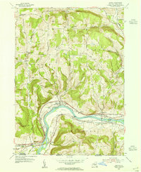
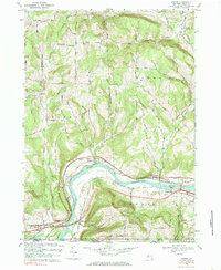
2023 Map of Owego
USGS Topo · Published 2023About this map
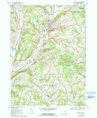
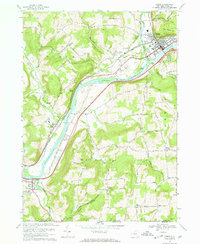
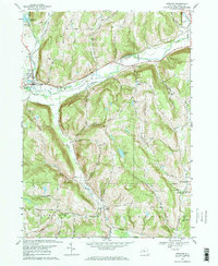
The Susquehanna River defines the geography of this southern New York corridor, winding through a series of narrow valleys and prominent hills. The village of Owego serves as a primary hub at the confluence of the river and Owego Creek, anchored by the Tioga County Courthouse and a collection of local landmarks like Saint Josephs Cem and Evergreen Cem. The settlement pattern follows the river's path, connecting smaller communities such as Lounsberry, Tioga Center, and Nichols along the valley floor.
Find a feature on this map
122 named features on this map. Tap any name to fly to it.
Don’t see what you’re looking for? This feature index may not catch every label — zoom into the map to look around manually.
Map Details
Editions of this 2023 Owego Map
This is the sole edition of this map. No revisions or reprints were ever made.
Historical Maps of Owego Through Time
19 maps found
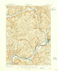
1903 Owego
Tioga County, NY

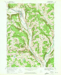
1906 Catatonk
Tioga County, NY
1950 Richford
Tioga County, NY
1953 Barton
Tioga County, NY
1956 Candor
Tioga County, NY

1956 Newark Valley
Tioga County, NY
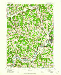
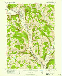
1956 Owego
Tioga County, NY
1956 Spencer
Tioga County, NY
1969 Barton
Tioga County, NY
1969 Candor
Tioga County, NY
1969 Newark Valley
Tioga County, NY
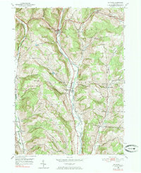
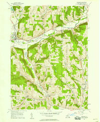
1969 Owego
Tioga County, NY
1969 Spencer
Tioga County, NY

2023 Barton
Tioga County, NY

2023 Candor
Tioga County, NY

2023 Newark Valley
Tioga County, NY
2023 Owego
Tioga County, NY

2023 Richford
Tioga County, NY

2023 Spencer
Tioga County, NY