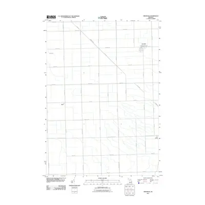
2011 Map of Owendale
USGS Topo · Published 2011About this map
Owendale serves as the primary hub in this portion of Michigan's Thumb, characterized by a meticulous grid of agricultural roads and the diagonal passage of Shebeon Creek. The village center is anchored by the Owendale Post Office and follows the layout of Main St. Further south, the settlement of Bach sits at the intersection of Bach Rd and Bay Port Rd, representing the smaller rural clusters common to the region. The landscape is largely defined by its drainage and transport network, with Swamp Creek winding through the western fields. Near the southern boundary, Saint Agatha's Cemetery provides a specific point of interest for genealogists and local historians, situated along Bay City Forestville Rd. This survey captures the enduring rural character of the area, where family names often define the local thoroughfares.
Find a feature on this map
39 named features on this map. Tap any name to fly to it.
Don’t see what you’re looking for? This feature index may not catch every label — zoom into the map to look around manually.
Map Details
Editions of this 2011 Owendale Map
This is the sole edition of this map. No revisions or reprints were ever made.
Other maps of this area

1954 · Flint
USGS Topo · 1:250,000

1958 · Flint
USGS Topo · 1:250,000

1963 · Cass City
USGS Topo · 1:24,000

1963 · Ellington
USGS Topo · 1:24,000

1963 · Gagetown
USGS Topo · 1:24,000

1963 · Owendale
USGS Topo · 1:24,000

1963 · Colling
USGS Topo · 1:24,000

1963 · Sebewaing
USGS Topo · 1:24,000

1970 · Bay Port West
USGS Topo · 1:24,000

1970 · Bay Port East
USGS Topo · 1:24,000