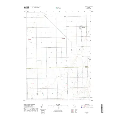
2019 Map of Owendale
USGS Topo · Published 2019About this map
The village of Owendale stands as a central point in this agricultural landscape where the Huron Co and Tuscola Co border divides the region's northern and southern townships. This 2019 survey captures the highly organized drainage network essential to the Thumb region's farming heritage, featuring named waterways like Shebeon Cr and the Shebeon Drain. These systems, including the Freeman Drain and Crawford Drain, define the layout of the land, cutting diagonally across the rigid section lines and county roads.
Find a feature on this map
49 named features on this map. Tap any name to fly to it.
Don’t see what you’re looking for? This feature index may not catch every label — zoom into the map to look around manually.
Map Details
Editions of this 2019 Owendale Map
This is the sole edition of this map. No revisions or reprints were ever made.
Other maps of this area
1954 · Flint
USGS Topo · 1:250,000
1958 · Flint
USGS Topo · 1:250,000
1963 · Cass City
USGS Topo · 1:24,000
1963 · Ellington
USGS Topo · 1:24,000
1963 · Gagetown
USGS Topo · 1:24,000
1963 · Owendale
USGS Topo · 1:24,000
1963 · Colling
USGS Topo · 1:24,000
1963 · Sebewaing
USGS Topo · 1:24,000
1970 · Bay Port West
USGS Topo · 1:24,000
1970 · Bay Port East
USGS Topo · 1:24,000