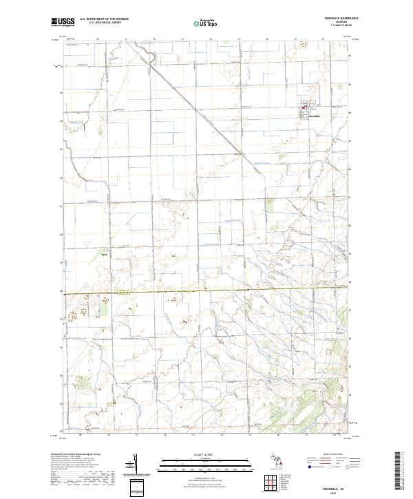
2023 Map of Owendale
USGS Topo · Published 2023About this map
The village of Owendale and the small settlement of Bach anchor this agricultural landscape in Michigan's Thumb region. The terrain is defined by a dense network of water management features, reflecting the transformation of the natural wetlands into productive farmland. Major drainage ways like Shebeon Drain, Crawford Drain, and Freeman Drain crisscross the section lines, while natural watercourses such as Shebeon Creek and Swamp Creek move toward the lake. The map reveals a strictly regulated grid of section roads named after local families and early settlers, including Riskey Rd, Pobanz Rd, and McGregory Rd. The boundary between Huron and Tuscola Counties runs through the southern half of the quadrangle, where the Brookfield Exit and several localized drains like Markham Drain and King Drain further illustrate the area's intricate hydrological engineering.
Find a feature on this map
53 named features on this map. Tap any name to fly to it.
Don’t see what you’re looking for? This feature index may not catch every label — zoom into the map to look around manually.
Map Details
Editions of this 2023 Owendale Map
This is the sole edition of this map. No revisions or reprints were ever made.
Other maps of this area

1954 · Flint
USGS Topo · 1:250,000

1958 · Flint
USGS Topo · 1:250,000

1963 · Cass City
USGS Topo · 1:24,000

1963 · Ellington
USGS Topo · 1:24,000

1963 · Gagetown
USGS Topo · 1:24,000

1963 · Owendale
USGS Topo · 1:24,000

1963 · Colling
USGS Topo · 1:24,000

1963 · Sebewaing
USGS Topo · 1:24,000

1970 · Bay Port West
USGS Topo · 1:24,000

1970 · Bay Port East
USGS Topo · 1:24,000