
1963 Map of Owendale
USGS Topo · Published 1964About this map
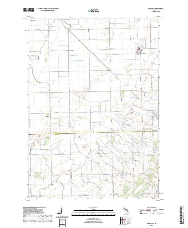
The agricultural landscape of the Michigan Thumb is defined here by a systematic network of drainage channels and section roads straddling the Huron Co Tuscola Co line. The village of Owendale serves as the primary hub, situated where the New York Central railroad tracks intersect the grid. Smaller settlements like Bach and Columbia are connected by a web of local thoroughfares, including Canboro Road and Bay City Forestville Road, which supported the region's farming economy in the early 1960s.
Find a feature on this map
33 named features on this map. Tap any name to fly to it.
Don’t see what you’re looking for? This feature index may not catch every label — zoom into the map to look around manually.
Map Details
Editions of this 1963 Owendale Map
This is the sole edition of this map. No revisions or reprints were ever made.
Historical Maps of Gagetown Through Time
Featured Locations
- Brookfield Township, MI
- Elmwood Township, MI
- Owendale, Brookfield Township
- Bach, Sebewaing Township
- Gagetown, Elmwood Township