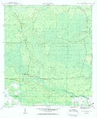
1946 Map of Owens Bridge
USGS Topo · Published 1960About this map
Apalachicola National Forest dominates this mid-century landscape where the border of Liberty and Franklin counties meets the winding course of the New River. The area is defined by a complex network of wetlands and tributaries, including Cat Branch, Nero Branch, and the sprawling Mud Swamp. While much of the terrain is characterized by these water-logged features and numerous Islands, small outposts of human activity appear along the primitive road networks. The namesake crossing at Owens Bridge and the nearby Tate Fire Tower serve as critical navigation points within the dense forest. Further east, family-named sites such as Morgan Place and the curious label of Twin Pole provide specific points of interest for genealogists tracing early mid-century homesteads and forest service outposts in the Florida Panhandle before modern development altered these wilder reaches.
Find a feature on this map
15 named features on this map. Tap any name to fly to it.
Don’t see what you’re looking for? This feature index may not catch every label — zoom into the map to look around manually.
Map Details
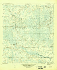
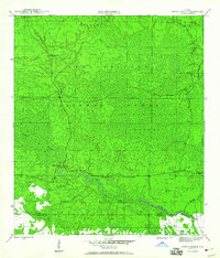
Editions of this 1946 Owens Bridge Map
4 editions found
Other maps of this area

1944 · Pickett Bay
USGS Topo · 1:31,680

1944 · Queens Bay
USGS Topo · 1:24,000

1945 · Thousand Yard Bay
USGS Topo · 1:31,680

1945 · Smith Creek
USGS Topo · 1:31,680

1945 · Tates Hell Swamp
USGS Topo · 1:31,680

1945 · Pickett Bay
USGS Topo · 1:31,680

1945 · Fort Gadsden
USGS Topo · 1:31,680

1946 · Queens Bay
USGS Topo · 1:31,680

1946 · Sumatra
USGS Topo · 1:31,680

1946 · Owens Bridge
USGS Topo · 1:31,680