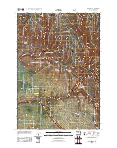
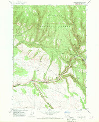
2011 Map of Owens Butte
USGS Topo · Published 2011About this map
Owens Butte serves as the central landmark for this high-elevation drainage network in Umatilla County, where numerous creek systems converge. The terrain is defined by the headwaters and winding paths of Owens Creek and Lane Creek to the north, while the southern portion of the quadrangle is dominated by the broader valley of Camas Creek. This landscape demonstrates a transition from upland drainages to the more structured transportation corridors that follow the natural watercourses.
Find a feature on this map
17 named features on this map. Tap any name to fly to it.
Don’t see what you’re looking for? This feature index may not catch every label — zoom into the map to look around manually.
Map Details
Editions of this 2011 Owens Butte Map
This is the sole edition of this map. No revisions or reprints were ever made.
Other maps of this area

1953 · Pendleton
USGS Topo · 1:250,000

1956 · Pendleton
USGS Topo · 1:250,000
1967 · Ukiah SE
USGS Topo · 1:24,000
1967 · Lehman Springs
USGS Topo · 1:24,000
1967 · Granite Meadows
USGS Topo · 1:24,000
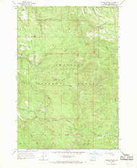
1967 · Pearson Ridge
USGS Topo · 1:24,000
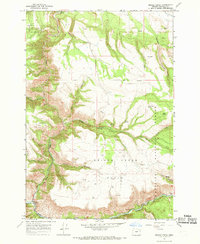
1967 · Bridge Creek
USGS Topo · 1:24,000
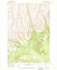
1967 · Carney Butte
USGS Topo · 1:24,000
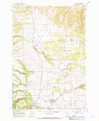
1967 · Ukiah
USGS Topo · 1:24,000
1967 · Owens Butte
USGS Topo · 1:24,000