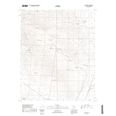
2018 Map of Owens Peak
USGS Topo · Published 2018About this map
Owens Peak and the high ridges of the Scodie Mountains dominate this high-desert landscape where the Sierra Nevada meets the northern Mojave Desert. The map documents a critical infrastructure corridor through the arid terrain, featuring both the original Los Angeles Aqueduct and the Second Los Angeles Aqueduct as they traverse the eastern slopes. Hikers and conservationists will find the exact route of the Pacific Crest National Scenic Trail as it winds past Mt Jenkins and Morris Peak, providing a detailed view of the trail's path through this geologically complex region. Local history is anchored at the Mount Owens Cem near Grapevine Canyon, while numerous named drainages like Indian Wells Canyon and Short Canyon indicate the seasonal water systems essential to the area. Isolated water sources such as Coyote Spring and Big Spring are clearly marked, highlighting the precious nature of water in this Kern County wilderness.
Find a feature on this map
33 named features on this map. Tap any name to fly to it.
Don’t see what you’re looking for? This feature index may not catch every label — zoom into the map to look around manually.
Map Details
Editions of this 2018 Owens Peak Map
This is the sole edition of this map. No revisions or reprints were ever made.
Other maps of this area
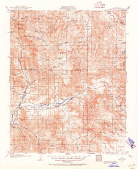
1906 · Kernville
USGS Topo · 1:125,000
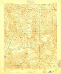
1908 · Kernville
USGS Topo · 1:125,000
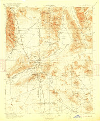
1915 · Searles Lake
USGS Topo · 1:250,000
1943 · Inyokern
USGS Topo · 1:62,500
1943 · Onyx
USGS Topo · 1:62,500

1947 · Trona
USGS Topo · 1:250,000

1948 · Trona
USGS Topo · 1:250,000
1948 · Bakersfield
USGS Topo · 1:250,000

1953 · Trona
USGS Topo · 1:250,000
1954 · Little Lake
USGS Topo · 1:62,500