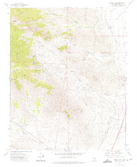
1972 Map of Owens Peak
USGS Topo · Published 1975About this map
Owens Peak and the high ridges of the Scodie Mts define this high-desert landscape in the early 1970s. The map documents a rugged terrain of deep canyons including Grapevine Canyon and Indian Wells Canyon, where water sources like Morris Spring and Coyote Spring were critical for early transit and survival. Historic activity is evident at the Mt Owens Cem and through several indigenous Pictographs sites located along the canyon walls.
Find a feature on this map
34 named features on this map. Tap any name to fly to it.
Don’t see what you’re looking for? This feature index may not catch every label — zoom into the map to look around manually.
Map Details
Editions of this 1972 Owens Peak Map
This is the sole edition of this map. No revisions or reprints were ever made.
Other maps of this area

1906 · Kernville
USGS Topo · 1:125,000

1908 · Kernville
USGS Topo · 1:125,000

1915 · Searles Lake
USGS Topo · 1:250,000

1943 · Inyokern
USGS Topo · 1:62,500

1943 · Onyx
USGS Topo · 1:62,500

1947 · Trona
USGS Topo · 1:250,000

1948 · Trona
USGS Topo · 1:250,000

1948 · Bakersfield
USGS Topo · 1:250,000

1953 · Trona
USGS Topo · 1:250,000

1954 · Little Lake
USGS Topo · 1:62,500