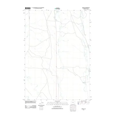
2012 Map of Owens
USGS Topo · Published 2012About this map
Stockade Beaver Cr carves a winding path through the eastern reaches of Weston County, providing the primary hydrological structure for this pocket of Wyoming. The settlement of Owens sits near the upper waters of this creek, while further south, the M W Ranch marks a long-established presence on the land. The drainage network is dense here, with Whoopup Cr and Blacktail Cr feeding the larger systems that define the high plains topography.
Find a feature on this map
10 named features on this map. Tap any name to fly to it.
Don’t see what you’re looking for? This feature index may not catch every label — zoom into the map to look around manually.
Map Details
Editions of this 2012 Owens Map
This is the sole edition of this map. No revisions or reprints were ever made.
Other maps of this area

1899 · Newcastle
USGS Topo · 1:125,000

1901 · Newcastle
USGS Topo · 1:125,000

1951 · Owens
USGS Topo · 1:24,000

1951 · Dewey
USGS Topo · 1:24,000

1951 · Dewey SW
USGS Topo · 1:24,000

1951 · Newcastle
USGS Topo · 1:24,000

1951 · Morrisey NE
USGS Topo · 1:24,000

1951 · Fanny Peak
USGS Topo · 1:24,000

1951 · Osage SE
USGS Topo · 1:24,000

1951 · Clifton
USGS Topo · 1:24,000