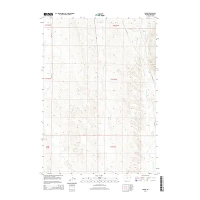
2015 Map of Owens
USGS Topo · Published 2015About this map
Stockade Beaver Cr and its tributaries define the drainage patterns of this eastern Wyoming landscape, where the high plains meet the western edge of the Black Hills foothills. The settlement of Owens sits along the northeastern portion of the quadrangle, positioned near the drainage of Whoopup Cr. The area is characterized by a network of seasonal watercourses like Blacktail Cr and Oil Cr that carve through the township and range divisions of Weston County. Transportation in the region relies on the north-south corridor of Old Highway 85 and Morrissey Rd. The presence of the Howell Reservoir in the north suggests the importance of water management for ranching and land use in this arid environment, where the land is primarily divided into large-scale sections for agriculture or grazing.
Find a feature on this map
16 named features on this map. Tap any name to fly to it.
Don’t see what you’re looking for? This feature index may not catch every label — zoom into the map to look around manually.
Map Details
Editions of this 2015 Owens Map
This is the sole edition of this map. No revisions or reprints were ever made.
Other maps of this area
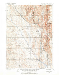
1899 · Newcastle
USGS Topo · 1:125,000
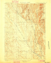
1901 · Newcastle
USGS Topo · 1:125,000
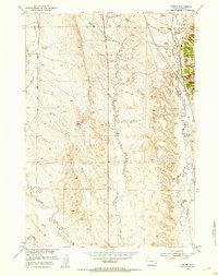
1951 · Owens
USGS Topo · 1:24,000
1951 · Dewey
USGS Topo · 1:24,000
1951 · Dewey SW
USGS Topo · 1:24,000
1951 · Newcastle
USGS Topo · 1:24,000
1951 · Morrisey NE
USGS Topo · 1:24,000
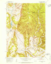
1951 · Fanny Peak
USGS Topo · 1:24,000
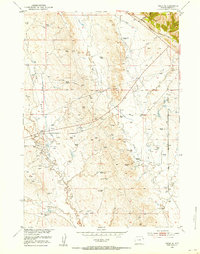
1951 · Osage SE
USGS Topo · 1:24,000
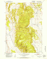
1951 · Clifton
USGS Topo · 1:24,000