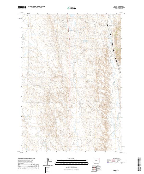
2021 Map of Owens
USGS Topo · Published 2021About this map
Stockade Beaver Creek and its southern branch, S Beaver Creek, carve through the eastern reaches of this Weston County landscape. The settlement of Owens sits at a junction of high-plains roads and drainage systems, serving as a focal point for the surrounding ranchlands. The terrain is defined by a complex network of seasonal and perennial waterways, including Blacktail Creek, Oil Creek, and the curiously named Whoopup Creek. Water management in this semi-arid environment is evidenced by the presence of the Rosean Reservoir in the northern portion of the quadrangle. Transportation through these townships relies on historical routes like Old Hwy 85 and Morrissey Road, which follow the natural contours of the drainages and ridges, illustrating the enduring relationship between the region's geography and its human infrastructure in the early twenty-first century.
Find a feature on this map
16 named features on this map. Tap any name to fly to it.
Don’t see what you’re looking for? This feature index may not catch every label — zoom into the map to look around manually.
Map Details
Editions of this 2021 Owens Map
This is the sole edition of this map. No revisions or reprints were ever made.
Other maps of this area

1899 · Newcastle
USGS Topo · 1:125,000

1901 · Newcastle
USGS Topo · 1:125,000

1951 · Owens
USGS Topo · 1:24,000

1951 · Dewey
USGS Topo · 1:24,000

1951 · Dewey SW
USGS Topo · 1:24,000

1951 · Newcastle
USGS Topo · 1:24,000

1951 · Morrisey NE
USGS Topo · 1:24,000

1951 · Fanny Peak
USGS Topo · 1:24,000

1951 · Osage SE
USGS Topo · 1:24,000

1951 · Clifton
USGS Topo · 1:24,000