
1905 Map of Owensville
USGS Topo · Published 1905About this map
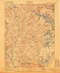
The Patuxent River and the complex tidal inlets of the Chesapeake Bay define this turn-of-the-century coastal landscape in Anne Arundel and Prince Georges Counties. This era is marked by a maritime economy centered on commercial landings and wharves, such as Hartges Wharf, Murrays Wharf, and Contees Wharf, which served as vital transit points for tobacco and goods before the full dominance of modern highways. Inland, the map reveals a network of rural post offices and hamlets including Mt Zion Lothian PO and Butlers Harwood PO, alongside family-named landmarks like McKendree and Darnall. Rail infrastructure is well-established, with the Chesapeake Beach RR and Baltimore and Potomac RR carving paths through the rolling terrain. The transition from tidal marshes at Selby Bay to the structured utilities of the Annapolis Waterworks illustrates the regional development of Maryland's tidewater country during this period.
Find a feature on this map
105 named features on this map. Tap any name to fly to it.
Don’t see what you’re looking for? This feature index may not catch every label — zoom into the map to look around manually.
Map Details
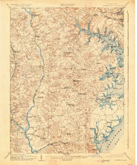
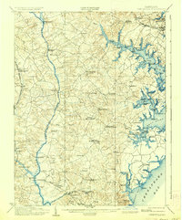
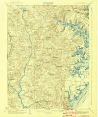
Editions of this 1905 Owensville Map
5 editions found
Other maps of this area

1892 · Laurel
USGS Topo · 1:62,500

1892 · Prince Frederick
USGS Topo · 1:62,500

1892 · Brandywine
USGS Topo · 1:62,500

1892 · Owensville
USGS Topo · 1:62,500

1892 · Annapolis
USGS Topo · 1:62,500

1893 · Sharps Island
USGS Topo · 1:62,500

1893 · North Point
USGS Topo · 1:62,500

1894 · Laurel
USGS Topo · 1:62,500

1894 · Relay
USGS Topo · 1:62,500

1895 · Prince Frederick
USGS Topo · 1:62,500