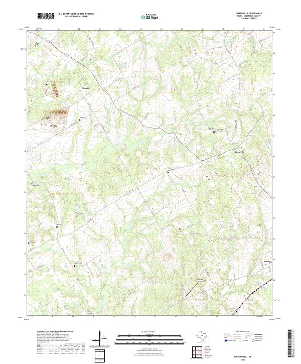
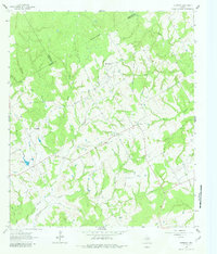
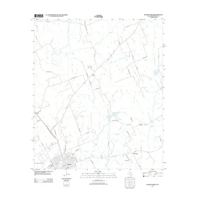
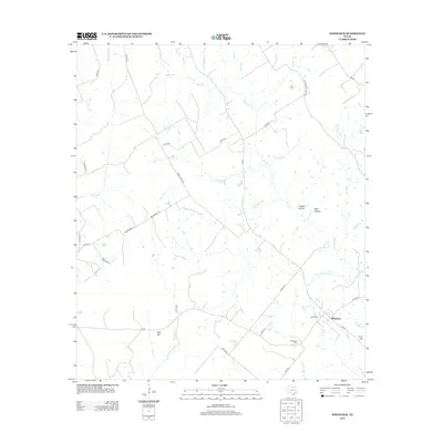
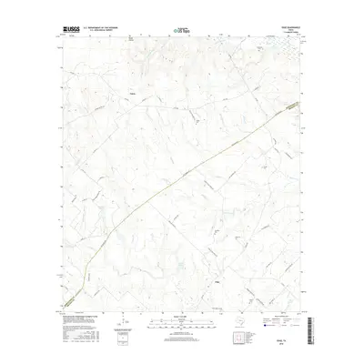
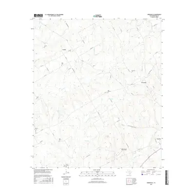
2022 Map of Owensville
USGS Topo · Published 2022About this map
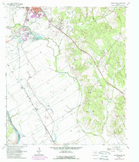
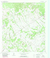
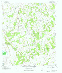
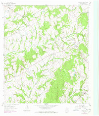
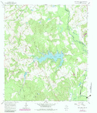
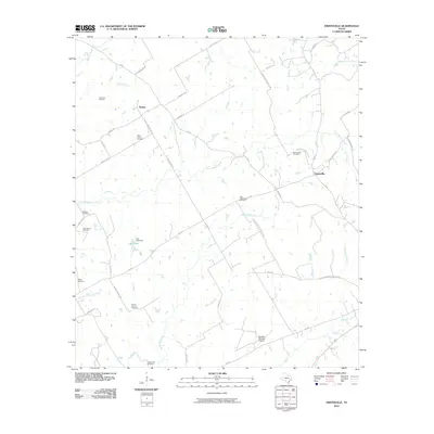
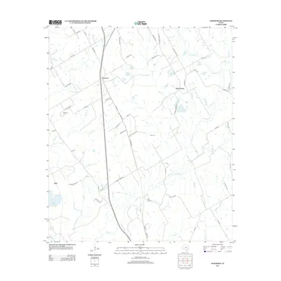
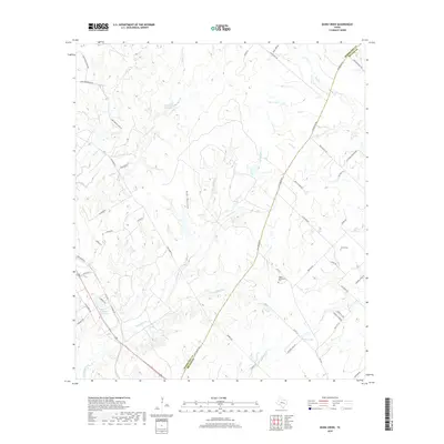
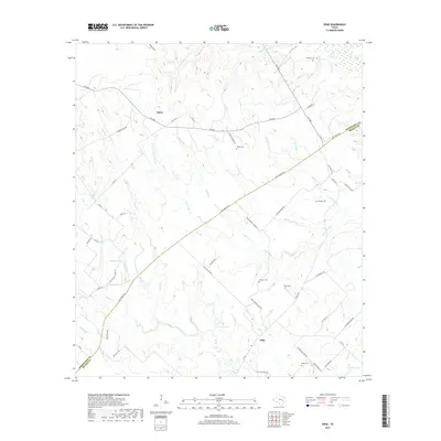
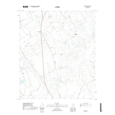
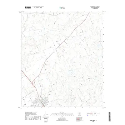
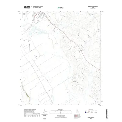
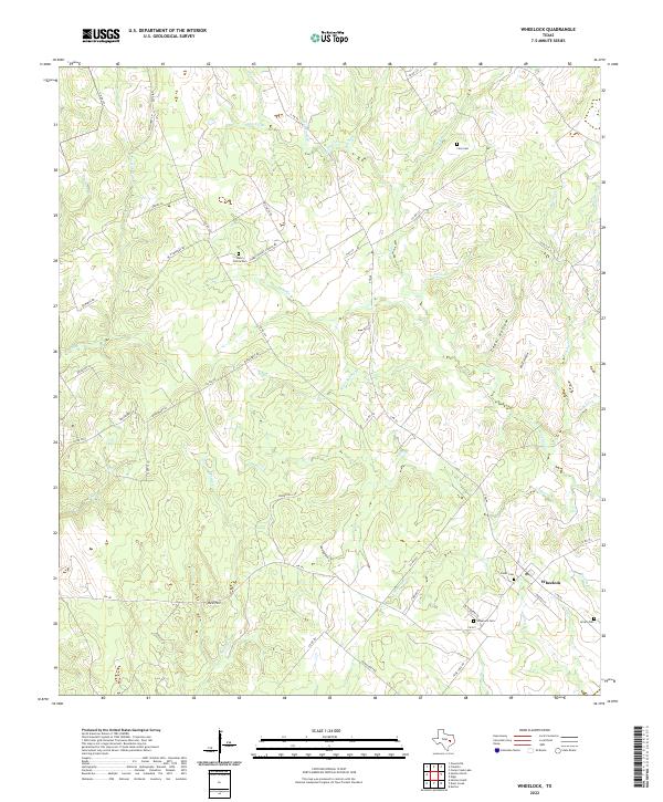
Owensville and Nesbitt anchor this portion of Robertson County, where a dense network of local roads and watercourses defines the landscape. The region is notable for its numerous burial grounds, including the Little Mississippi Cem, Nesbitt Cem, and Owensville West Cem, which offer significant data for genealogical research. The drainage patterns of Walnut Cr and Willson Cr wind through the terrain, while Lutz Lake provides a central water feature. To the southeast, the edge of Franklin appears near Mud Cr and Wolf Pen Br. Transportation is dominated by rural routes like N FM 46 and W FM 979, connecting the small communities and family-named landmarks. The presence of the Sandbur Ranches Private Airport near Little Mississippi Cemetery Rd indicates contemporary land use alongside these established rural settlements.
Find a feature on this map
61 named features on this map. Tap any name to fly to it.
Don’t see what you’re looking for? This feature index may not catch every label — zoom into the map to look around manually.
Map Details
Editions of this 2022 Owensville Map
This is the sole edition of this map. No revisions or reprints were ever made.
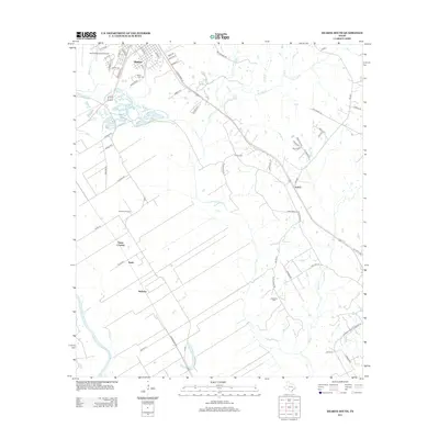
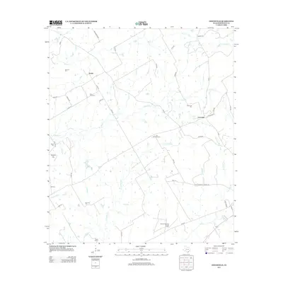
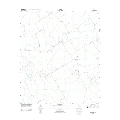
Historical Maps of Franklin Through Time
62 maps found
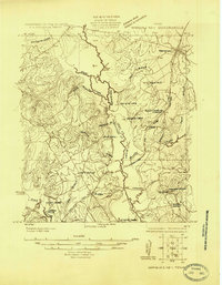
1925 Marquez No. 1
Robertson County, TX
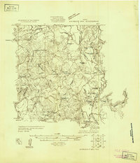
1925 Marquez No. 4
Robertson County, TX
1961 Hearne North
Robertson County, TX
1961 Hearne South
Robertson County, TX
1962 Edge
Robertson County, TX
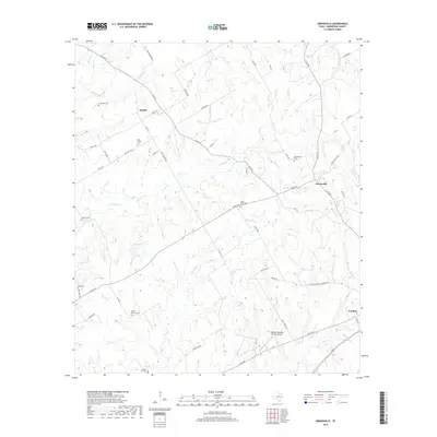
1962 Hammond
Robertson County, TX
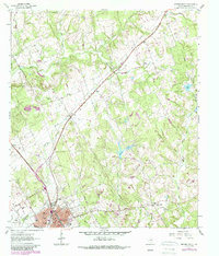
1962 Owensville
Robertson County, TX
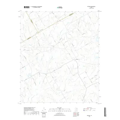
1962 Petteway
Robertson County, TX
1962 Wheelock
Robertson County, TX
1963 Dunn Creek
Robertson County, TX
1965 Bald Prairie
Robertson County, TX
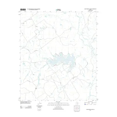
1965 Camp Creek Lake
Robertson County, TX
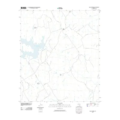
2010 Bald Prairie
Robertson County, TX
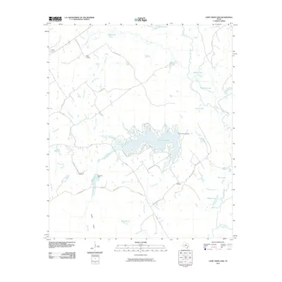
2010 Camp Creek Lake
Robertson County, TX
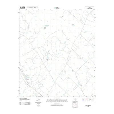
2010 Dunn Creek
Robertson County, TX
2010 Edge
Robertson County, TX
2010 Hammond
Robertson County, TX
2010 Hearne North
Robertson County, TX
2010 Hearne South
Robertson County, TX
2010 Owensville
Robertson County, TX
2010 Petteway
Robertson County, TX
2010 Wheelock
Robertson County, TX
2013 Bald Prairie
Robertson County, TX
2013 Camp Creek Lake
Robertson County, TX
2013 Dunn Creek
Robertson County, TX
2013 Edge
Robertson County, TX
2013 Hammond
Robertson County, TX
2013 Hearne North
Robertson County, TX
2013 Hearne South
Robertson County, TX
2013 Owensville
Robertson County, TX
2013 Petteway
Robertson County, TX
2013 Wheelock
Robertson County, TX
2016 Bald Prairie
Robertson County, TX
2016 Camp Creek Lake
Robertson County, TX
2016 Dunn Creek
Robertson County, TX
2016 Edge
Robertson County, TX
2016 Hammond
Robertson County, TX
2016 Hearne North
Robertson County, TX
2016 Hearne South
Robertson County, TX
2016 Owensville
Robertson County, TX
2016 Petteway
Robertson County, TX

2016 Wheelock
Robertson County, TX
2019 Bald Prairie
Robertson County, TX
2019 Camp Creek Lake
Robertson County, TX
2019 Dunn Creek
Robertson County, TX
2019 Edge
Robertson County, TX
2019 Hammond
Robertson County, TX
2019 Hearne North
Robertson County, TX
2019 Hearne South
Robertson County, TX
2019 Owensville
Robertson County, TX
2019 Petteway
Robertson County, TX
2019 Wheelock
Robertson County, TX
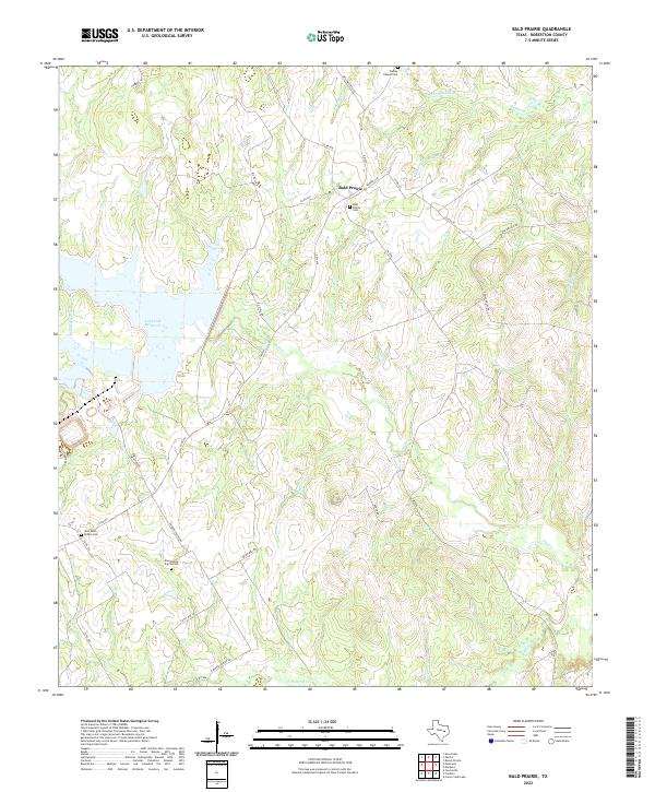
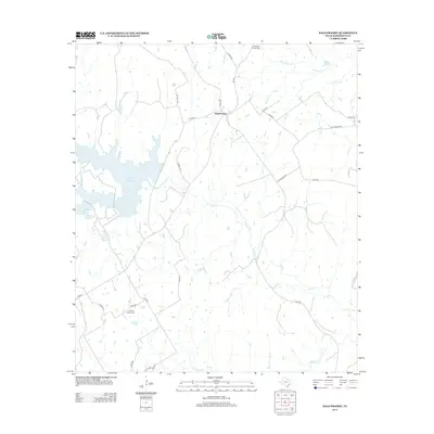
2022 Bald Prairie
Robertson County, TX
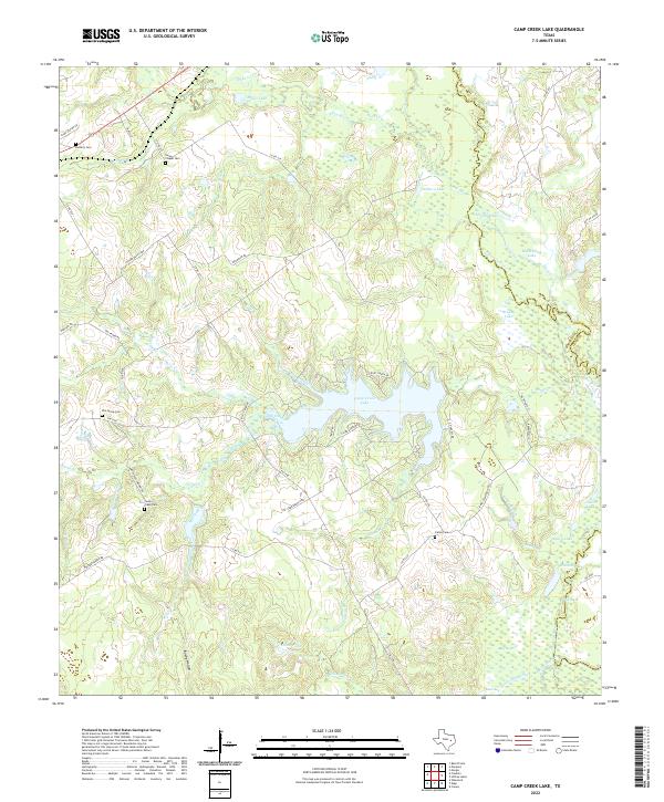
2022 Camp Creek Lake
Robertson County, TX
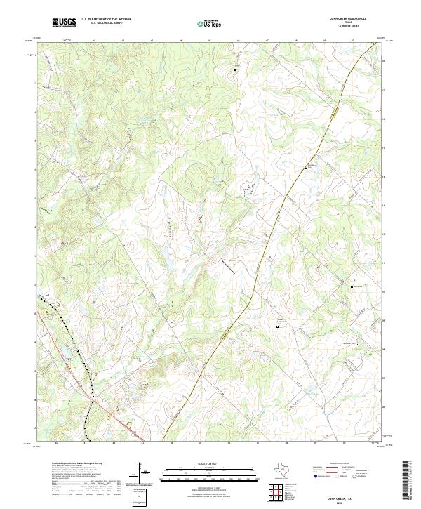
2022 Dunn Creek
Robertson County, TX
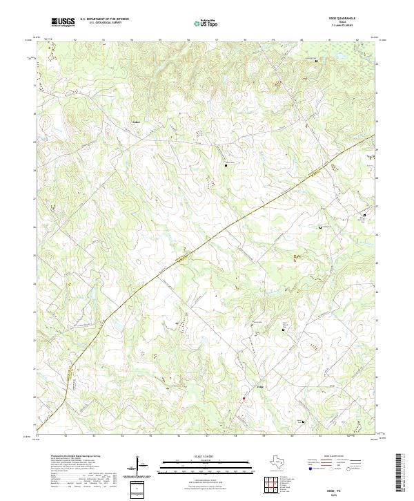
2022 Edge
Robertson County, TX
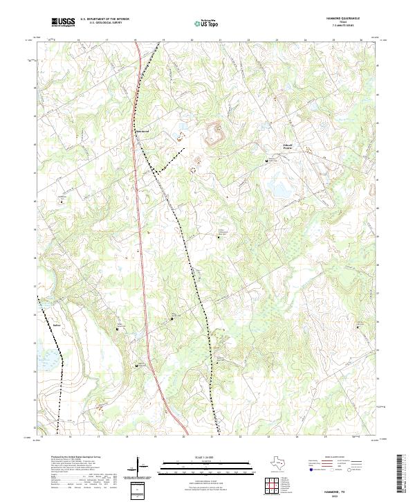
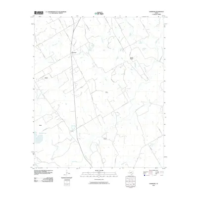
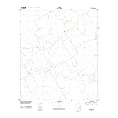
2022 Hammond
Robertson County, TX
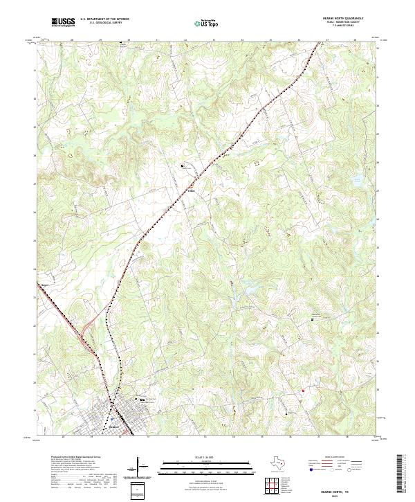
2022 Hearne North
Robertson County, TX
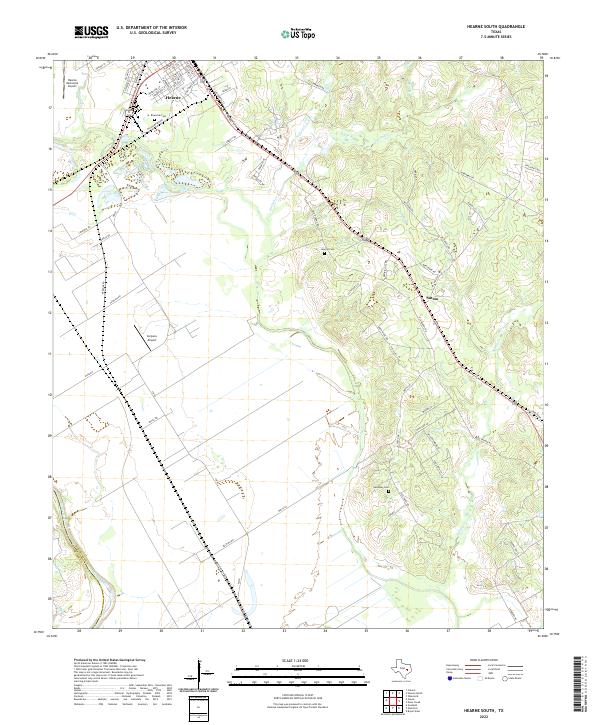
2022 Hearne South
Robertson County, TX
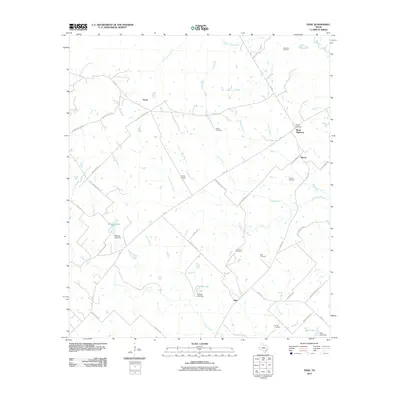
2022 Owensville
Robertson County, TX
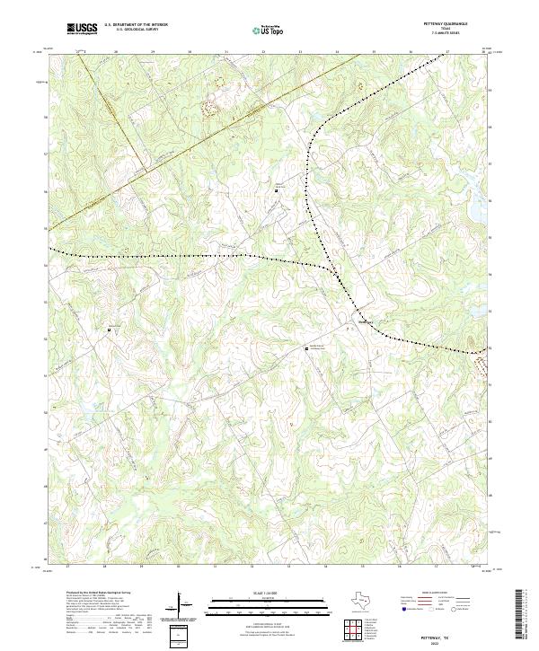
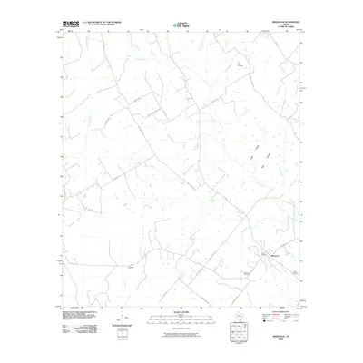
2022 Petteway
Robertson County, TX
2022 Wheelock
Robertson County, TX