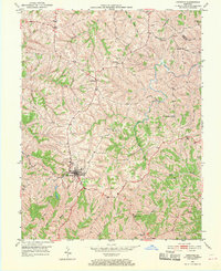
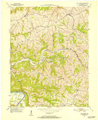
1950 Map of Owenton
USGS Topo · Published 1970About this map
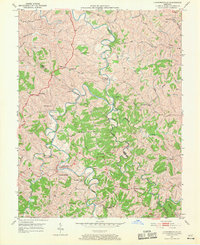
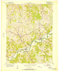
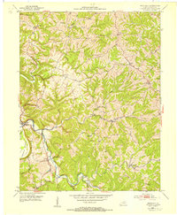
Owenton sits at the heart of this mid-century landscape, positioned where high ridges separate the deep drainages of Severn Creek and Stevens Creek. The map documents a predominantly agrarian economy defined by winding ridge-top roads and scattered family farmsteads. Significant for genealogists, the survey identifies numerous family burial grounds including Jones Cem, Franks Cem, and Woods Cem, often located on high ground near property lines.
Find a feature on this map
31 named features on this map. Tap any name to fly to it.
Don’t see what you’re looking for? This feature index may not catch every label — zoom into the map to look around manually.
Map Details
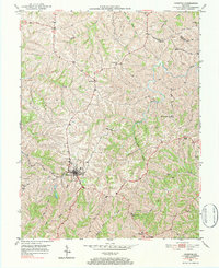
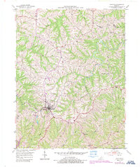
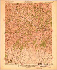
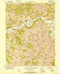
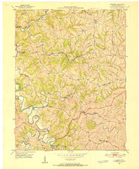
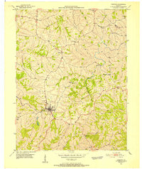
Editions of this 1950 Owenton Map
4 editions found
Other maps of this area

1906 · Lockport
USGS Topo · 1:48,000

1908 · Lockport
USGS Topo · 1:62,500
1939 · Sadieville
USGS Topo · 1:62,500
1950 · New Liberty
USGS Topo · 1:24,000
1950 · Glencoe
USGS Topo · 1:24,000
1950 · Elliston
USGS Topo · 1:24,000
1950 · Owenton
USGS Topo · 1:24,000
1950 · Lawrenceville
USGS Topo · 1:24,000
1951 · Sanders
USGS Topo · 1:24,000
1953 · Monterey
USGS Topo · 1:24,000