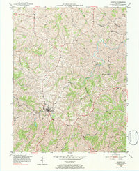
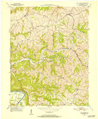
1950 Map of Owenton
USGS Topo · Published 1984About this map
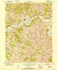
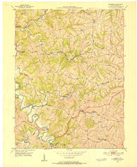
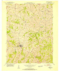
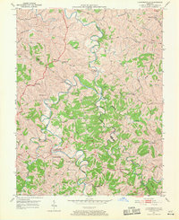
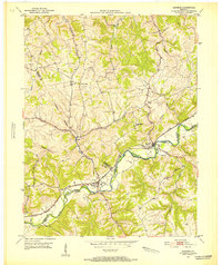
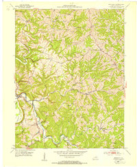
Owenton serves as the focal point for this mid-century portrait of Owen County, where the town's street grid sits atop a high ridge surrounded by a complex network of drainages. This survey captures a rural landscape defined by narrow ridgeline roads and numerous small family burial grounds, such as the Duvall and Steger Cem and Franks Cem. The topography is particularly dissected, with Big Twin Creek and Stevens Creek carving deep valleys between agricultural uplands. Evidence of local community life is found in small named nodes like Sweet Owen and Long Ridge, as well as several country churches including Concord Ch and Pleasant Ridge Ch. In the southern portion of the quadrangle, the terrain drops toward Hallam, near the site of the Pauper Cem, illustrating the distributed nature of early Kentucky settlements.
Find a feature on this map
34 named features on this map. Tap any name to fly to it.
Don’t see what you’re looking for? This feature index may not catch every label — zoom into the map to look around manually.
Map Details
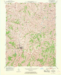
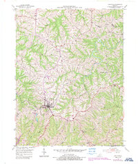
Editions of this 1950 Owenton Map
4 editions found
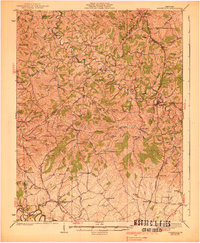
Other maps of this area

1906 · Lockport
USGS Topo · 1:48,000

1908 · Lockport
USGS Topo · 1:62,500
1939 · Sadieville
USGS Topo · 1:62,500
1950 · New Liberty
USGS Topo · 1:24,000
1950 · Glencoe
USGS Topo · 1:24,000
1950 · Elliston
USGS Topo · 1:24,000
1950 · Owenton
USGS Topo · 1:24,000
1950 · Lawrenceville
USGS Topo · 1:24,000
1951 · Sanders
USGS Topo · 1:24,000
1953 · Monterey
USGS Topo · 1:24,000