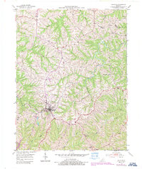
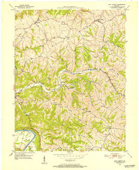
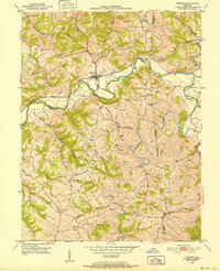
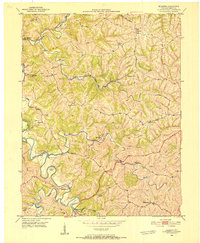
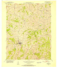
1950 Map of Owenton
USGS Topo · Published 1987About this map
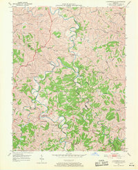
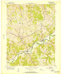
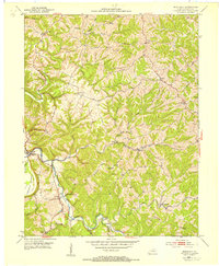
Owenton serves as the central hub of this north-central Kentucky landscape, where the town layout is clearly defined against the surrounding dissected plateau. The terrain is characterized by a dense network of watercourses including Brush Creek and Stevens Creek, which have carved deep valleys into the region's topography. The map reveals a deeply rooted rural community, marked by numerous family burial grounds and small houses of worship. Genealogists may find particular value in the distribution of family-named landmarks such as the Duvall and Stager Cem, Franks Cem, and Waldrope Cem, which are scattered throughout the hills near Harrisburg and Sweet Owen. A notable social history detail is the presence of the Pauper Cem located near the southern edge of the quadrangle. The agricultural character of the era is evident in the sparse, ridge-top settlements like Hallam and the persistent winding routes of local roads through the Long Ridge area.
Find a feature on this map
31 named features on this map. Tap any name to fly to it.
Don’t see what you’re looking for? This feature index may not catch every label — zoom into the map to look around manually.
Map Details
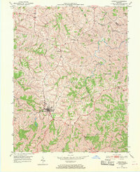
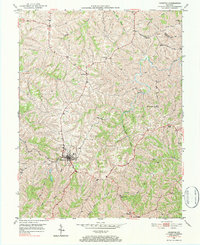
Editions of this 1950 Owenton Map
4 editions found
Other maps of this area

1906 · Lockport
USGS Topo · 1:48,000

1908 · Lockport
USGS Topo · 1:62,500
1939 · Sadieville
USGS Topo · 1:62,500
1950 · New Liberty
USGS Topo · 1:24,000
1950 · Glencoe
USGS Topo · 1:24,000
1950 · Elliston
USGS Topo · 1:24,000
1950 · Owenton
USGS Topo · 1:24,000
1950 · Lawrenceville
USGS Topo · 1:24,000
1951 · Sanders
USGS Topo · 1:24,000
1953 · Monterey
USGS Topo · 1:24,000