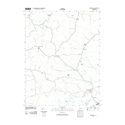
2010 Map of Owingsville
USGS Topo · Published 2010About this map
Owingsville serves as the focal point of this Bath County survey, anchored by the Bath County Post Office and the southern flow of Slate Creek. The landscape is a network of small settlements and rural crossroads, including Reynoldsville, Bethel, and Bald Eagle, where the Bald Eagle Bridge spans Flat Creek. The region's agricultural and industrial past is evidenced by Harpers Mill situated along Burbridge Branch.
Find a feature on this map
60 named features on this map. Tap any name to fly to it.
Don’t see what you’re looking for? This feature index may not catch every label — zoom into the map to look around manually.
Map Details
Editions of this 2010 Owingsville Map
This is the sole edition of this map. No revisions or reprints were ever made.
Other maps of this area

1929 · Salt Lick
USGS Topo · 1:62,500

1934 · Salt Lick
USGS Topo · 1:62,500

1951 · Hillsboro
USGS Topo · 1:24,000

1952 · Preston
USGS Topo · 1:24,000

1952 · Owingsville
USGS Topo · 1:24,000

1952 · Sharpsburg
USGS Topo · 1:24,000

1952 · Mount Sterling
USGS Topo · 1:24,000

1952 · Sherburne
USGS Topo · 1:24,000

1953 · Olympia
USGS Topo · 1:24,000

1953 · Moorefield
USGS Topo · 1:24,000