
2014 Map of Owl Mountain
USGS Topo · Published 2014About this map
Olympic National Park encompasses nearly the entire landscape in this 2014 survey, highlighting the complex drainage systems of the Olympic Mountains. The Hoh River and its tributary, the South Fork Hoh River, dominate the hydrology, joined by numerous named streams like Jackson Creek and Mineral Cr. Significant topographic features include Huelsdonk Ridge and the prominent Owl Mtn. This map provides a look at wilderness management and access within the park, noting remote structures such as the Mount Tom Shelter and Big Flat Shelter. While the interior remains largely roadless, the Upper Hoh Rd provides a primary corridor for movement through the river valley, illustrating the balance between protected wilderness and the infrastructure required for backcountry travel and park administration.
Find a feature on this map
22 named features on this map. Tap any name to fly to it.
Don’t see what you’re looking for? This feature index may not catch every label — zoom into the map to look around manually.
Map Details
Editions of this 2014 Owl Mountain Map
This is the sole edition of this map. No revisions or reprints were ever made.
Other maps of this area
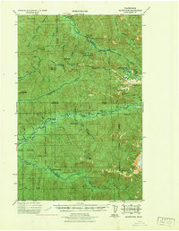
1939 · Mount Tom
USGS Topo · 1:62,500
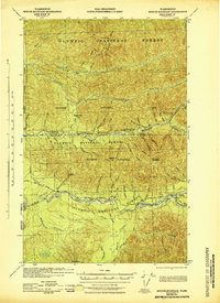
1943 · Spruce Mountain
USGS Topo · 1:62,500
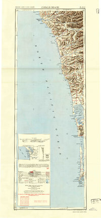
1943 · Copalis Beach
USGS Topo · 1:250,000
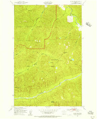
1950 · Slide Peak
USGS Topo · 1:24,000
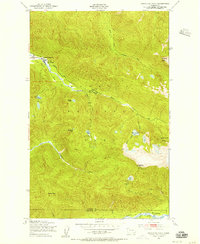
1950 · Bogachiel Peak
USGS Topo · 1:24,000
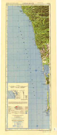
1951 · Copalis Beach
USGS Topo · 1:250,000
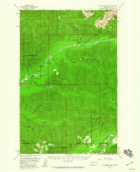
1956 · Kloochman Rock
USGS Topo · 1:62,500
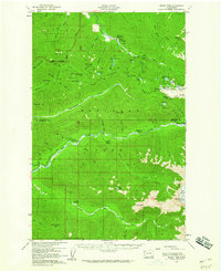
1956 · Mount Tom
USGS Topo · 1:62,500
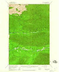
1956 · Spruce Mtn.
USGS Topo · 1:62,500
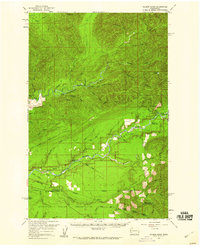
1956 · Salmon River
USGS Topo · 1:62,500