
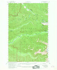
1956 Map of Mount Tom
USGS Topo · Published 1960About this map
Mount Tom and the White Glacier dominate this mid-century topographic survey of the Olympic Peninsula, where the high country of Olympic National Park meets the headwaters of several major river systems. The map documents a rugged network of backcountry infrastructure, featuring numerous remote outposts such as the Mt Tom Shelter, Olympus Shelter, and the Big Flat Shelter. The drainage patterns are clearly defined, showing the Soleduck River flowing northwest while the Hoh River and Bogachiel River cut deep valleys through the western slopes.
Find a feature on this map
64 named features on this map. Tap any name to fly to it.
Don’t see what you’re looking for? This feature index may not catch every label — zoom into the map to look around manually.
Map Details
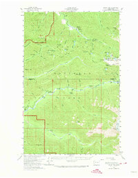
Editions of this 1956 Mount Tom Map
Other maps of this area

1918 · Lake Crescent
USGS Topo · 1:62,500

1919 · Port Crescent
USGS Topo · 1:62,500

1922 · Pysht
USGS Topo · 1:62,500

1922 · Lake Crescent
USGS Topo · 1:62,500

1935 · Mount Olympus
USGS Topo · 1:62,500

1939 · Mount Tom
USGS Topo · 1:62,500

1942 · Pysht
USGS Topo · 1:62,500

1942 · Mount Olympus
USGS Topo · 1:62,500

1943 · Spruce Mountain
USGS Topo · 1:62,500

1943 · Copalis Beach
USGS Topo · 1:250,000