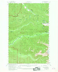
1956 Map of Mount Tom
USGS Topo · Published 1970About this map
Sol Duc Hot Springs and its surrounding wilderness define this high-country landscape, where the Soleduck River and Hoh River headwaters descend from the Olympic interior. The map documents a network of backcountry infrastructure essential to the mid-century administration of Olympic National Park, featuring several isolated outposts like the Mt Tom Shelter and the Olympus Shelter. The transition from the developed Soleduck Ranger Sta to the glaciated heights of Mount Tom reveals a landscape dictated by extreme topography rather than human settlement. Notable water bodies such as Seven Lakes Basin and Deer Lake are connected by established routes like the Seven Lakes Basin Trail, illustrating the era's focus on recreational access to the park's interior. To the south, the Hoh River Road provides the primary valley-floor access near the Hoh Ranger Station, skirting the northern edge of Owl Mountain.
Find a feature on this map
70 named features on this map. Tap any name to fly to it.
Don’t see what you’re looking for? This feature index may not catch every label — zoom into the map to look around manually.
Map Details
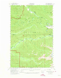
Editions of this 1956 Mount Tom Map

Other maps of this area

1918 · Lake Crescent
USGS Topo · 1:62,500

1919 · Port Crescent
USGS Topo · 1:62,500

1922 · Pysht
USGS Topo · 1:62,500

1922 · Lake Crescent
USGS Topo · 1:62,500

1935 · Mount Olympus
USGS Topo · 1:62,500

1939 · Mount Tom
USGS Topo · 1:62,500

1942 · Pysht
USGS Topo · 1:62,500

1942 · Mount Olympus
USGS Topo · 1:62,500

1943 · Spruce Mountain
USGS Topo · 1:62,500

1943 · Copalis Beach
USGS Topo · 1:250,000