
2017 Map of Owl Mountain
USGS Topo · Published 2017About this map
Olympic National Park defines this area of Jefferson County, dominated by the winding course of the Hoh River and the high elevations of the Olympic Mountains. The map reveals the dramatic geography of the Olympic Peninsula, where the South Fork Hoh River cuts through the southern terrain below Huelsdonk Ridge. For those tracing local landmarks or wilderness history, several peaks and ridges are documented, including Mount Tom in the northeast and Owl Mountain further south. Modern access is limited primarily to Hoh Valley Rd, which follows the river's northern bank. The network of drainage features like Jackson Creek, Taft Cr, and Spider Cr illustrates the complex hydrology of this temperate rainforest environment as it appeared in the mid-2010s.
Find a feature on this map
19 named features on this map. Tap any name to fly to it.
Don’t see what you’re looking for? This feature index may not catch every label — zoom into the map to look around manually.
Map Details
Editions of this 2017 Owl Mountain Map
This is the sole edition of this map. No revisions or reprints were ever made.
Other maps of this area
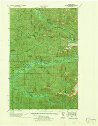
1939 · Mount Tom
USGS Topo · 1:62,500
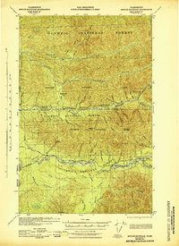
1943 · Spruce Mountain
USGS Topo · 1:62,500
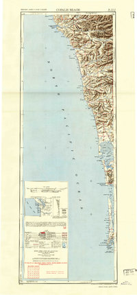
1943 · Copalis Beach
USGS Topo · 1:250,000
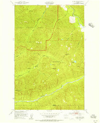
1950 · Slide Peak
USGS Topo · 1:24,000
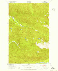
1950 · Bogachiel Peak
USGS Topo · 1:24,000
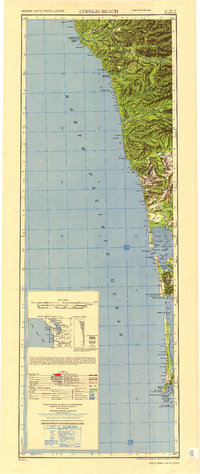
1951 · Copalis Beach
USGS Topo · 1:250,000
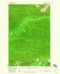
1956 · Kloochman Rock
USGS Topo · 1:62,500
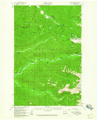
1956 · Mount Tom
USGS Topo · 1:62,500
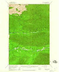
1956 · Spruce Mtn.
USGS Topo · 1:62,500
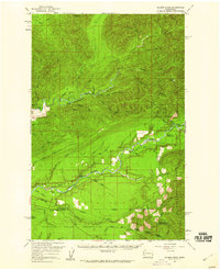
1956 · Salmon River
USGS Topo · 1:62,500