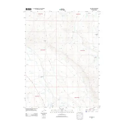
2013 Map of Owl Ridge
USGS Topo · Published 2013About this map
The Illinois River and Willow Cr define this Jackson County landscape, where water rights and ranching heritage are preserved in a complex network of irrigation ditches. Historical family operations like Illinois Ranch, Vils Ranch, and Burr Ranch are prominent features, situated among the high-altitude terrain of Owl Ridge and Owl Mountain. The map reveals the critical importance of water management in this environment through dozens of named man-made watercourses, including the Midland Ditch, Pioneer Ditch, and Ottawa Ditch. These ditches, alongside catchments such as Thirty One Reservoir and Shawver Reservoir, tell the story of a high-mountain agricultural economy dependent on seasonal snowmelt and careful diversion. Topographical landmarks such as Alderdice Draw and the Road Spring offer specific points of interest for those tracking local land usage and geographic changes in the Colorado high country.
Find a feature on this map
50 named features on this map. Tap any name to fly to it.
Don’t see what you’re looking for? This feature index may not catch every label — zoom into the map to look around manually.
Map Details
Editions of this 2013 Owl Ridge Map
This is the sole edition of this map. No revisions or reprints were ever made.
Other maps of this area

1954 · Craig
USGS Topo · 1:250,000
1955 · Gould
USGS Topo · 1:24,000
1955 · Owl Ridge
USGS Topo · 1:24,000
1955 · Gould NW
USGS Topo · 1:24,000
1955 · Walden
USGS Topo · 1:24,000
1955 · Mac Farlane Reservoir
USGS Topo · 1:24,000
1955 · Walden
USGS Topo · 1:62,500
1956 · Johnny Moore Mountain
USGS Topo · 1:24,000
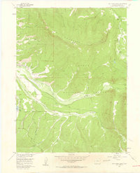
1956 · Jack Creek Ranch
USGS Topo · 1:24,000
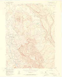
1956 · Buffalo Peak
USGS Topo · 1:24,000