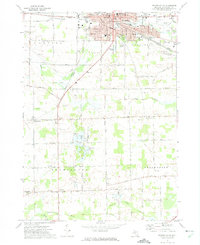
1972 Map of Owosso South
USGS Topo · Published 1975About this map
Owosso and Corunna anchor the northern edge of this 1970s topographical record, showing the urban expansion and industrial layout of these central Michigan communities. The landscape is defined by the transition from the concentrated residential blocks of the city to the agricultural tracts of Shiawassee County. The survey illustrates the local infrastructure connecting these settlements, from the established road networks to the rail lines and watercourses that supported the region's development. This map serves as a detailed reference for the mid-century spatial organization of the area before modern residential sprawl altered many of the field patterns and open spaces visible here.
Find a feature on this map
2 named features on this map. Tap any name to fly to it.
Don’t see what you’re looking for? This feature index may not catch every label — zoom into the map to look around manually.
Map Details
Editions of this 1972 Owosso South Map
2 editions found
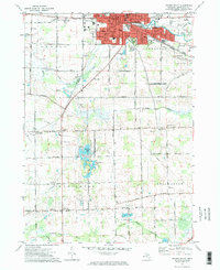
Other maps of this area

1917 · Chesaning
USGS Topo · 1:62,500

1918 · Elsie
USGS Topo · 1:62,500

1926 · Corunna
USGS Topo · 1:62,500

1928 · Laingsburg
USGS Topo · 1:62,500

1929 · Corunna
USGS Topo · 1:62,500

1943 · Chesaning
USGS Topo · 1:62,500

1943 · Elsie
USGS Topo · 1:62,500

1944 · Laingsburg
USGS Topo · 1:62,500

1944 · Corunna
USGS Topo · 1:62,500

1954 · Midland
USGS Topo · 1:250,000