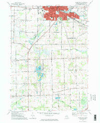
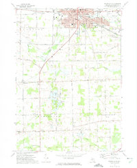
1972 Map of Owosso South
USGS Topo · Published 1975About this map
Owosso and the neighboring seat of Corunna serve as the industrial and educational heart of this mid-Michigan region during the early 1970s. The landscape is defined by the winding paths of the Shiawassee River and Looking Glass River, which anchored early development in Owosso and Shiawassee townships. A concentration of institutional landmarks, including John Wesley College, the Armory, and Spring Vale Academy, reflects a community with deep-rooted civic foundations.
Find a feature on this map
62 named features on this map. Tap any name to fly to it.
Don’t see what you’re looking for? This feature index may not catch every label — zoom into the map to look around manually.
Map Details
Editions of this 1972 Owosso South Map
2 editions found
Other maps of this area

1917 · Chesaning
USGS Topo · 1:62,500

1918 · Elsie
USGS Topo · 1:62,500

1926 · Corunna
USGS Topo · 1:62,500

1928 · Laingsburg
USGS Topo · 1:62,500

1929 · Corunna
USGS Topo · 1:62,500

1943 · Chesaning
USGS Topo · 1:62,500

1943 · Elsie
USGS Topo · 1:62,500

1944 · Laingsburg
USGS Topo · 1:62,500

1944 · Corunna
USGS Topo · 1:62,500

1954 · Midland
USGS Topo · 1:250,000