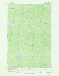
1965 Map of Oxbow
USGS Topo · Published 1969About this map
The Aroostook River winds through this heavily forested landscape in northern Maine, defining the early geography of Oxbow Plantation and Masardis. The river's character is marked by features like Shephard Rips and the large oxbow bend that gives the southern settlement its name. At this time in the mid-1960s, the area remained deeply connected to its timber and sporting heritage, as evidenced by numerous remote outposts like McManus Camp, Camp Dana, and Camp Violette.
Find a feature on this map
81 named features on this map. Tap any name to fly to it.
Don’t see what you’re looking for? This feature index may not catch every label — zoom into the map to look around manually.
Map Details
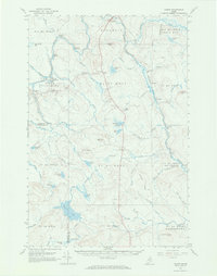
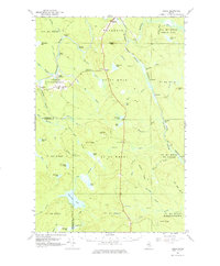
Editions of this 1965 Oxbow Map
3 editions found
Other maps of this area

1930 · Greenlaw
USGS Topo · 1:48,000

1931 · Ashland
USGS Topo · 1:48,000

1933 · Greenlaw
USGS Topo · 1:62,500

1934 · Ashland
USGS Topo · 1:62,500

1935 · Howe Brook
USGS Topo · 1:48,000

1935 · Presque Isle
USGS Topo · 1:62,500

1937 · Smyrna Mills
USGS Topo · 1:62,500

1939 · Howe Brook
USGS Topo · 1:62,500

1940 · Island Falls
USGS Topo · 1:62,500

1940 · Oxbow
USGS Topo · 1:62,500