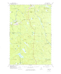
1965 Map of Oxbow
USGS Topo · Published 1977About this map
Oxbow Plantation and the village of Masardis anchor this mid-century look at the North Woods, where the Aroostook River winds through a landscape of timber and transport. The Bangor and Aroostook railroad follows the St Croix Stream corridor, passing through rail-dependent points like Griswold and Hawkins. Local life is centered at the Oxbow School and nearby burial grounds including Oxbow Cemetery and East End Cemetery. Deep in the backcountry, the map reveals a history of logging and recreation through labels like McManus Camp, Camp Dana, and Camp Violette. The terrain is defined by a dense network of waterways like Umcolcus Lake and Matherson Pond, while the numerous jeep trails and gravel pits suggest the active resource extraction of the era.
Find a feature on this map
77 named features on this map. Tap any name to fly to it.
Don’t see what you’re looking for? This feature index may not catch every label — zoom into the map to look around manually.
Map Details
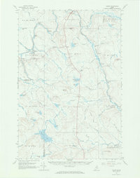
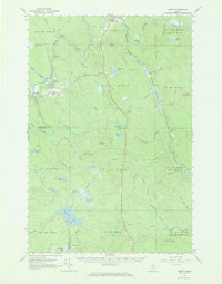
Editions of this 1965 Oxbow Map
3 editions found
Other maps of this area

1930 · Greenlaw
USGS Topo · 1:48,000

1931 · Ashland
USGS Topo · 1:48,000

1933 · Greenlaw
USGS Topo · 1:62,500

1934 · Ashland
USGS Topo · 1:62,500

1935 · Howe Brook
USGS Topo · 1:48,000

1935 · Presque Isle
USGS Topo · 1:62,500

1937 · Smyrna Mills
USGS Topo · 1:62,500

1939 · Howe Brook
USGS Topo · 1:62,500

1940 · Island Falls
USGS Topo · 1:62,500

1940 · Oxbow
USGS Topo · 1:62,500