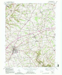
1992 Map of Oxford
USGS Topo · Published 1995About this map
The sprawling campus of Lincoln University anchors this portion of Chester County, situated along the historic corridor of the Baltimore Pike. This survey reflects a deeply established rural landscape where small nineteenth-century settlements like Russellville, New London, and Hayesville grew around key intersections and crossroads. The region's social history is recorded through numerous localized institutions, including the Hosannah Ch and Beulah Ch, alongside a network of country schoolhouses such as Oak Grove Sch and Chestnut Grove Sch.
Find a feature on this map
55 named features on this map. Tap any name to fly to it.
Don’t see what you’re looking for? This feature index may not catch every label — zoom into the map to look around manually.
Map Details
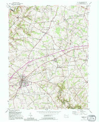
Editions of this 1992 Oxford Map
2 editions found
Other maps of this area

1898 · Elkton
USGS Topo · 1:62,500

1900 · Elkton
USGS Topo · 1:62,500

1900 · Havre De Grace
USGS Topo · 1:62,500

1904 · Coatesville
USGS Topo · 1:62,500

1906 · Coatesville
USGS Topo · 1:62,500

1912 · Quarryville
USGS Topo · 1:62,500

1917 · Elkton
USGS Topo · 1:62,500

1918 · Coatesville
USGS Topo · 1:62,500

1942 · Havre De Grace
USGS Topo · 1:62,500

1942 · Elkton
USGS Topo · 1:62,500
Featured Places
- New London Township, PA
- Upper Oxford Township, PA
- Russellville, Upper Oxford Township
- Lower Oxford Township, PA
- East Nottingham Township, PA