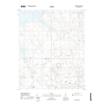
2018 Map of Oxford North
USGS Topo · Published 2018About this map
Oxford anchors the southern edge of this landscape, where the city’s residential expansion meets the rural character of Lafayette County. The topography is defined by the winding drainages of Toby Tubby Cr and Hurricane Creek, which flow toward the backwaters of Sardis Lake in the northwest. This area serves as a transition between the academic and urban hub of the university town and the older, established communities like College Hill and Abbeville.
Find a feature on this map
92 named features on this map. Tap any name to fly to it.
Don’t see what you’re looking for? This feature index may not catch every label — zoom into the map to look around manually.
Map Details
Editions of this 2018 Oxford North Map
This is the sole edition of this map. No revisions or reprints were ever made.
Other maps of this area

1940 · Oxford
USGS Topo · 1:62,500

1942 · Denmark
USGS Topo · 1:62,500

1943 · Denmark
USGS Topo · 1:62,500

1943 · Oxford
USGS Topo · 1:62,500

1944 · Tyro
USGS Topo · 1:62,500

1944 · Potts Camp
USGS Topo · 1:62,500

1945 · Potts Camp
USGS Topo · 1:62,500

1956 · Tupelo
USGS Topo · 1:250,000

1958 · Tupelo
USGS Topo · 1:250,000

1971 · Laws Hill
USGS Topo · 1:24,000