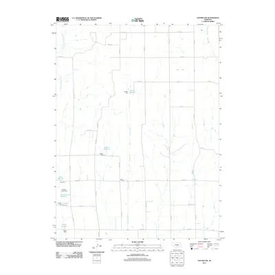
2011 Map of Oxford NW
USGS Topo · Published 2011About this map
Swartz Creek and several smaller tributaries carve a north-south path through the agricultural landscape of Phelps County in this 2011 survey. The terrain is characterized by a series of man-made water management systems, including family-named impoundments such as Walters Reservoir, King Reservoir, and Ebneier Reservoir. These reservoirs, held back by structures like Walters Dam and Ebneier Dam, reflect the vital importance of water storage for the region's farming economy.
Find a feature on this map
34 named features on this map. Tap any name to fly to it.
Don’t see what you’re looking for? This feature index may not catch every label — zoom into the map to look around manually.
Map Details
Editions of this 2011 Oxford NW Map
This is the sole edition of this map. No revisions or reprints were ever made.
Other maps of this area

1896 · Lexington
USGS Topo · 1:125,000

1896 · Arapahoe
USGS Topo · 1:125,000

1898 · Arapahoe
USGS Topo · 1:125,000

1899 · Lexington
USGS Topo · 1:125,000

1955 · Grand Island
USGS Topo · 1:250,000

1957 · Grand Island
USGS Topo · 1:250,000

1958 · Grand Island
USGS Topo · 1:250,000

1958 · Edison
USGS Topo · 1:24,000

1958 · Mascot
USGS Topo · 1:24,000
1958 · Oxford
USGS Topo · 1:24,000