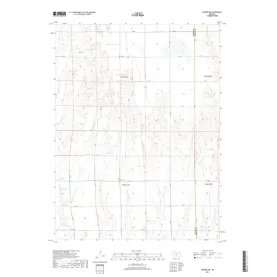
2017 Map of Oxford NW
USGS Topo · Published 2017About this map
Zion Cem stands as a quiet focal point in this 2017 survey of the borderlands between Gosper and Phelps Counties. The landscape is defined by its agricultural water management, evidenced by numerous named catchment basins such as Ebmeier Reservoir and Walters Reservoir. These features, alongside several family-named landmarks like the Gardner-Larson Reservoir and Bailey Reservoir, illustrate the modern infrastructure required for prairie farming in south-central Nebraska. The drainage patterns of the region are shaped by the north-flowing headwaters of Swartz Cr and the E Br Turkey Cr. A strictly ordered grid of section-line roads, including RD 736 and RD 730, provides the primary framework for local travel across this rural township landscape, reflecting the enduring legacy of the Public Land Survey System.
Find a feature on this map
30 named features on this map. Tap any name to fly to it.
Don’t see what you’re looking for? This feature index may not catch every label — zoom into the map to look around manually.
Map Details
Editions of this 2017 Oxford NW Map
This is the sole edition of this map. No revisions or reprints were ever made.
Other maps of this area
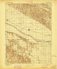
1896 · Lexington
USGS Topo · 1:125,000
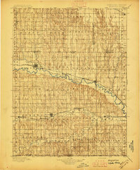
1896 · Arapahoe
USGS Topo · 1:125,000
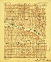
1898 · Arapahoe
USGS Topo · 1:125,000
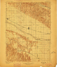
1899 · Lexington
USGS Topo · 1:125,000
1955 · Grand Island
USGS Topo · 1:250,000
1957 · Grand Island
USGS Topo · 1:250,000
1958 · Grand Island
USGS Topo · 1:250,000
1958 · Edison
USGS Topo · 1:24,000
1958 · Mascot
USGS Topo · 1:24,000
1958 · Oxford
USGS Topo · 1:24,000