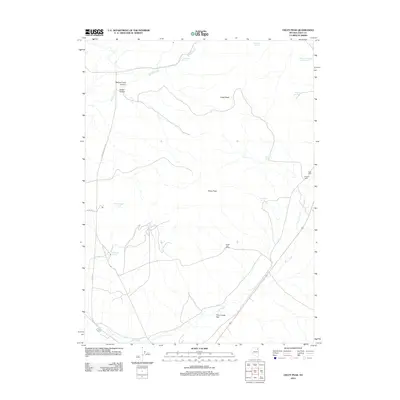
2012 Map of Oxley Peak
USGS Topo · Published 2012About this map
Oxley Peak and Cedar Peak anchor this high-elevation landscape in Elko County, where the high desert meets the headwaters of vital regional water systems. In the early 21st century, the terrain is defined by a network of seasonal water sources and drainages, including the Humboldt River and Bishop Creek, which carves through Bishop Creek Canyon. The map reveals a sparse but established ranching footprint, with Hopkins Ranch and Single Tree Ranch situated near the alluvial spreads of Town Creek Flat. A complex system of springs, such as Twelvemile Spring, Winchell Spring, and the curiously named Chicken Seep Spring, underscores the critical importance of water management in this arid environment. Travel through the area is facilitated by local routes like Upper Metropolis Rd, connecting these isolated outposts to the broader Nevada basin.
Find a feature on this map
20 named features on this map. Tap any name to fly to it.
Don’t see what you’re looking for? This feature index may not catch every label — zoom into the map to look around manually.
Map Details
Editions of this 2012 Oxley Peak Map
This is the sole edition of this map. No revisions or reprints were ever made.
Other maps of this area

1955 · Wells
USGS Topo · 1:250,000

1958 · Wells
USGS Topo · 1:250,000

1961 · Wells
USGS Topo · 1:250,000

1967 · Black Butte
USGS Topo · 1:24,000

1967 · Welcome
USGS Topo · 1:24,000

1967 · Metropolis
USGS Topo · 1:24,000

1968 · Moor Summit
USGS Topo · 1:24,000

1968 · Wells
USGS Topo · 1:24,000

1968 · Melandco
USGS Topo · 1:24,000

1968 · Wells Peak
USGS Topo · 1:24,000