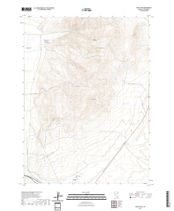
2021 Map of Oxley Peak
USGS Topo · Published 2021About this map
Oxley Peak and the Snake Mountains dominate this high-desert terrain north of the community of Wells. The landscape is defined by its hydrothermal activity and vital water sources, including the famous Humboldt Wells and various thermal features such as Hot Springs and Chicken Soup Spring. These springs and the flow of Town Cr provided critical stopovers for travelers navigating the northern Great Basin.
Find a feature on this map
33 named features on this map. Tap any name to fly to it.
Don’t see what you’re looking for? This feature index may not catch every label — zoom into the map to look around manually.
Map Details
Editions of this 2021 Oxley Peak Map
This is the sole edition of this map. No revisions or reprints were ever made.
Other maps of this area

1955 · Wells
USGS Topo · 1:250,000

1958 · Wells
USGS Topo · 1:250,000

1961 · Wells
USGS Topo · 1:250,000

1967 · Black Butte
USGS Topo · 1:24,000

1967 · Welcome
USGS Topo · 1:24,000

1967 · Metropolis
USGS Topo · 1:24,000

1968 · Moor Summit
USGS Topo · 1:24,000

1968 · Wells
USGS Topo · 1:24,000

1968 · Melandco
USGS Topo · 1:24,000

1968 · Wells Peak
USGS Topo · 1:24,000