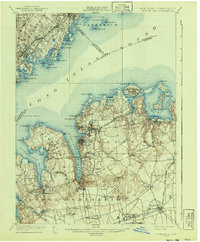
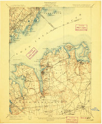
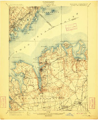
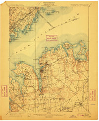
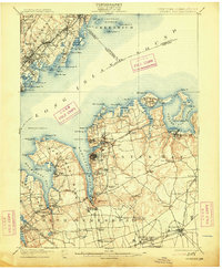
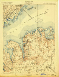
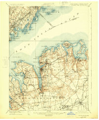
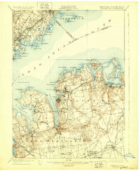
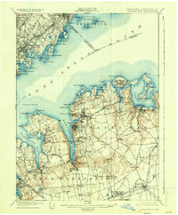
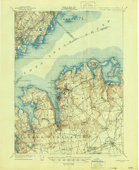
1900 Map of Oyster Bay
USGS Topo · Published 1941About this map
Oyster Bay and the surrounding Gold Coast of Long Island are documented here at the close of the nineteenth century, as the region was establishing its identity through waterfront estates and burgeoning commuter lines. This survey captures the intricate shoreline from Manhasset Bay to Oyster Bay Harbor, highlighting the maritime importance of locations like Sands Point and the remote Execution Rocks L.H.. Inland, the transition from agricultural land to suburban settlement is visible in the network of the Long Island Railroad, with stops like Greenvale Station and Glen Cove Landing serving as vital links to the city.
Find a feature on this map
98 named features on this map. Tap any name to fly to it.
Don’t see what you’re looking for? This feature index may not catch every label — zoom into the map to look around manually.
Map Details
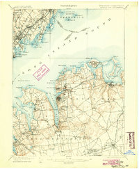
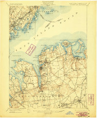
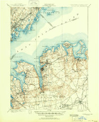
Editions of this 1900 Oyster Bay Map
15 editions found

1900 edition
16.6 x 20.2 inches
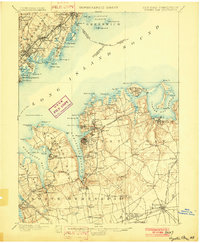
1902 edition
16.6 x 20.1 inches
1904 edition
16.6 x 20.1 inches
1906 edition
16.6 x 20.1 inches
1907 edition
16.6 x 20.1 inches
1909 edition
16.6 x 20.1 inches
1911 edition
16.6 x 20.1 inches
1913 edition
16.6 x 20.2 inches
1918 edition
15.2 x 19.9 inches
1924 edition
16.6 x 20.2 inches
1929 edition
16.6 x 20.2 inches
1935 edition
16.6 x 20.1 inches
1941 edition
16.6 x 20.1 inches
1944 edition
17.1 x 20.8 inches
1951 edition
17 x 20.9 inches
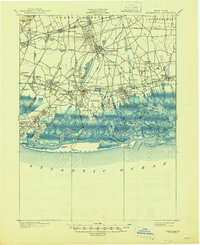
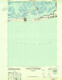
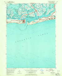
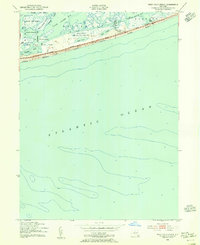
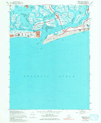
Historical Maps of New York Through Time
23 maps found

1897 Hempstead
Nassau County, NY

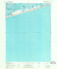
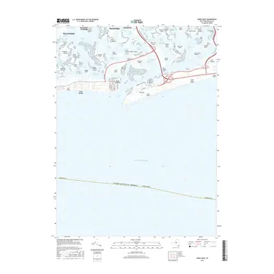
1897 Oyster Bay
Nassau County, NY

1898 Hempstead
Nassau County, NY

1898 Oyster Bay
Nassau County, NY

1899 Hempstead
Nassau County, NY
1900 Oyster Bay
Nassau County, NY
1903 Hempstead
Nassau County, NY
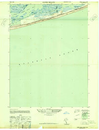
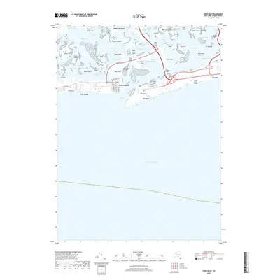
1947 Jones Beach
Nassau County, NY
1947 Jones Inlet
Nassau County, NY
1954 Jones Inlet
Nassau County, NY
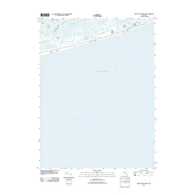
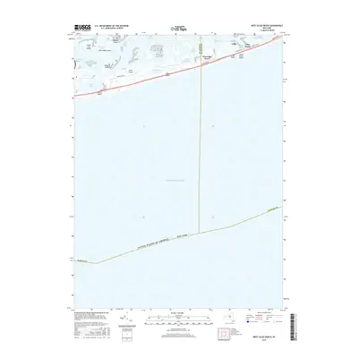
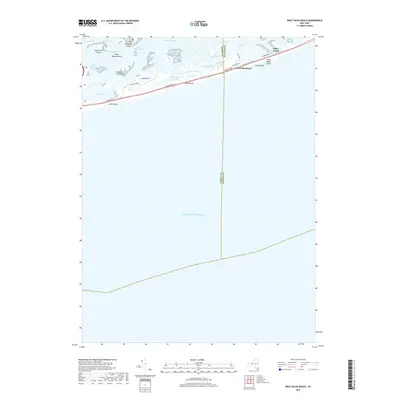
1954 West Gilgo Beach
Nassau County, NY
1967 Jones Inlet
Nassau County, NY
1967 West Gilgo Beach
Nassau County, NY
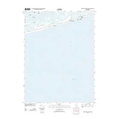
2012 Jones Inlet
Nassau County, NY
2012 West Gilgo Beach
Nassau County, NY
2013 Jones Inlet
Nassau County, NY
2013 West Gilgo Beach
Nassau County, NY
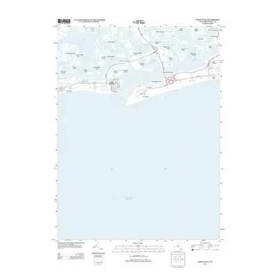
2016 Jones Inlet
Nassau County, NY
2016 West Gilgo Beach
Nassau County, NY
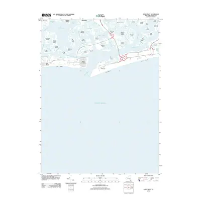
2019 Jones Inlet
Nassau County, NY
2019 West Gilgo Beach
Nassau County, NY

2023 Jones Inlet
Nassau County, NY
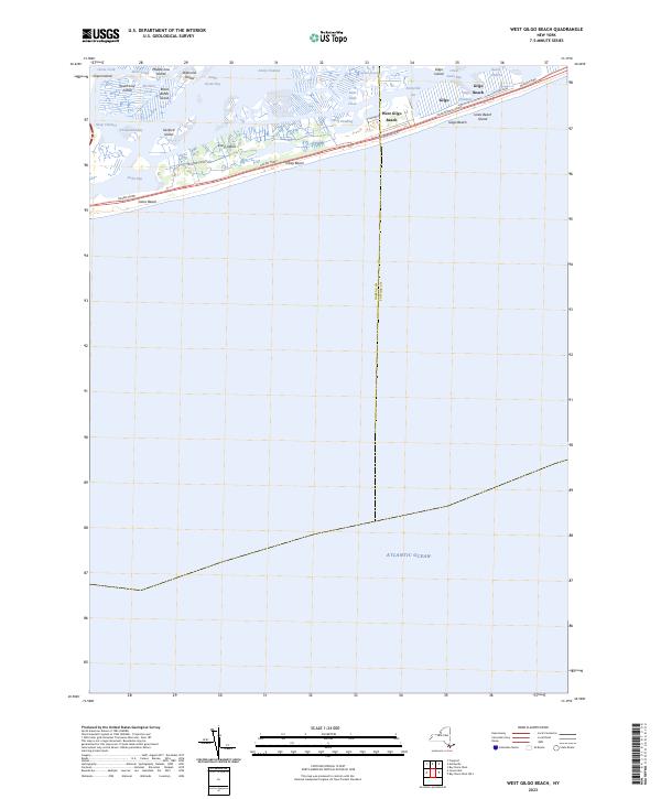
2023 West Gilgo Beach
Nassau County, NY