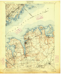
1900 Map of Oyster Bay
USGS Topo · Published 1913About this map
The Gold Coast of Long Island and the busy Westchester shoreline are detailed in this survey based on late 19th-century fieldwork. The geography is dominated by the deep inlets of Oyster Bay, Hempstead Harbor, and Mamaroneck Harbor, which supported a maritime economy centered on transport and recreation. Across Long Island Sound, the coastline is marked by vital navigational aids like Sands Point Light and Execution Rocks L.H., guiding traffic between New York and Connecticut.
Find a feature on this map
102 named features on this map. Tap any name to fly to it.
Don’t see what you’re looking for? This feature index may not catch every label — zoom into the map to look around manually.
Map Details
Editions of this 1900 Oyster Bay Map
15 editions found

1900 edition
16.6 x 20.2 inches
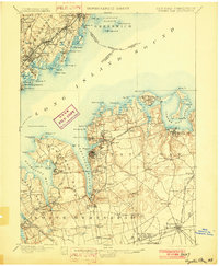
1902 edition
16.6 x 20.1 inches
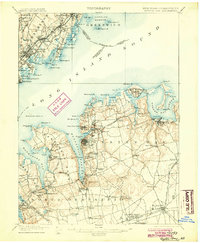
1904 edition
16.6 x 20.1 inches
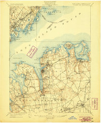
1906 edition
16.6 x 20.1 inches
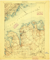
1907 edition
16.6 x 20.1 inches
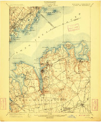
1909 edition
16.6 x 20.1 inches
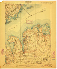
1911 edition
16.6 x 20.1 inches
1913 edition
16.6 x 20.2 inches
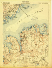
1918 edition
15.2 x 19.9 inches
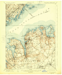
1924 edition
16.6 x 20.2 inches
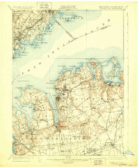
1929 edition
16.6 x 20.2 inches
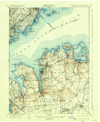
1935 edition
16.6 x 20.1 inches
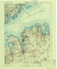
1941 edition
16.6 x 20.1 inches
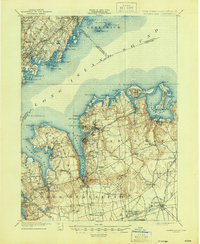
1944 edition
17.1 x 20.8 inches
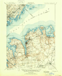
1951 edition
17 x 20.9 inches
Other maps of this area

1889 · Brooklyn
USGS Topo · 1:62,500

1891 · Brooklyn
USGS Topo · 1:62,500

1891 · Harlem
USGS Topo · 1:62,500

1892 · Stamford
USGS Topo · 1:62,500

1892 · Norwalk
USGS Topo · 1:62,500

1892 · Tarrytown
USGS Topo · 1:62,500

1893 · Stamford
USGS Topo · 1:62,500

1893 · Norwalk
USGS Topo · 1:62,500

1893 · Tarrytown
USGS Topo · 1:62,500

1897 · Harlem
USGS Topo · 1:62,500